
GIS for Everyone: A Powerful Tool for Learning and Problem Solving
Geographic information systems (GIS) are computer-based tools that allow users to create, store, edit, analyze, and visualize spatial data. GIS has been used for decades …
Geographic information systems (GIS) are computer-based tools that allow users to create, store, edit, analyze, and visualize spatial data. GIS has been used for decades …
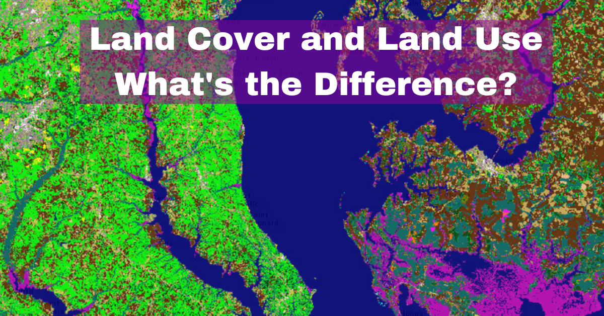
The terms land cover and land use are often used interchangeably, but they have distinct meanings. Land cover refers to the physical material at the …
Geographic Information System (GIS) software is a critical tool for geospatial analysis, data visualization, and decision-making in various fields, including environmental management, urban planning, and …
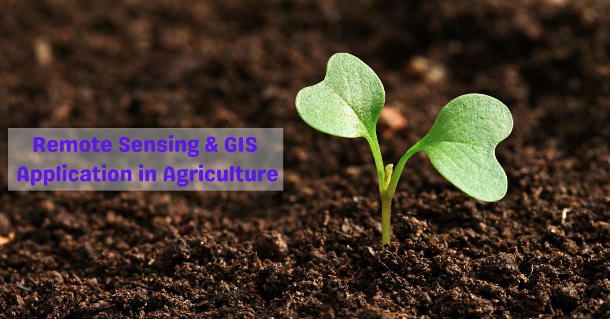
Geographic Information Systems (GIS) have transformed the way we collect, analyze, and interpret spatial data in agriculture. GIS technology can be used to monitor and …