LiDAR vs. Photogrammetry: Understanding Mapping Magic
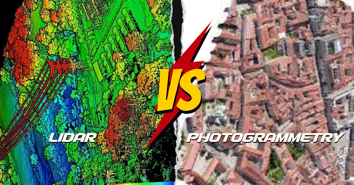
What’s the Difference? LiDAR and photogrammetry are cool ways to make maps of the Earth, but they do it differently. LiDAR is like using a …
What’s the Difference? LiDAR and photogrammetry are cool ways to make maps of the Earth, but they do it differently. LiDAR is like using a …

Picture your GIS software not only being knowledgeable but also continually learning, becoming more intelligent and adept at understanding the world around us. Welcome to …
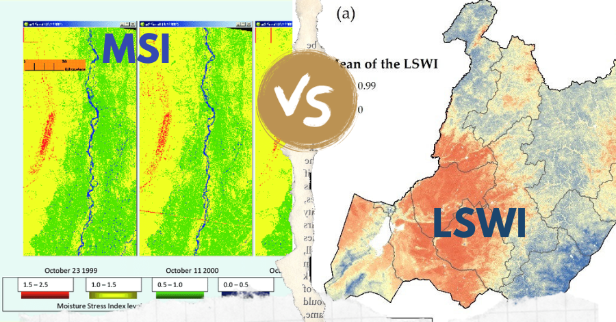
In the realm of remote sensing, the Leaf-Water Stress Index (LSWI) and the Moisture Stress Index (MSI) stand out as key tools for assessing vegetation …