GIS Freelancing: Is It Possible?
Thinking about making extra money with GIS? I’m not super excited about freelance GIS work. There are some downsides, like no steady paycheck, no benefits, …
Thinking about making extra money with GIS? I’m not super excited about freelance GIS work. There are some downsides, like no steady paycheck, no benefits, …
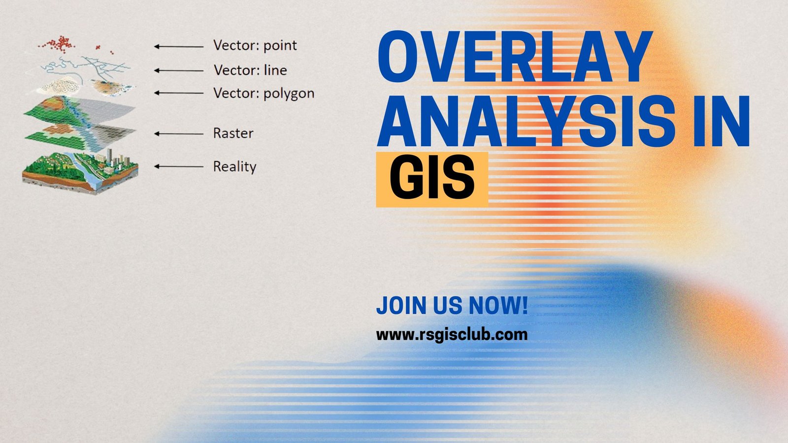
One of the most basic questions asked of a GIS (Geographic Information System) is “What’s on top of what?” For example: Before GIS, cartographers would …
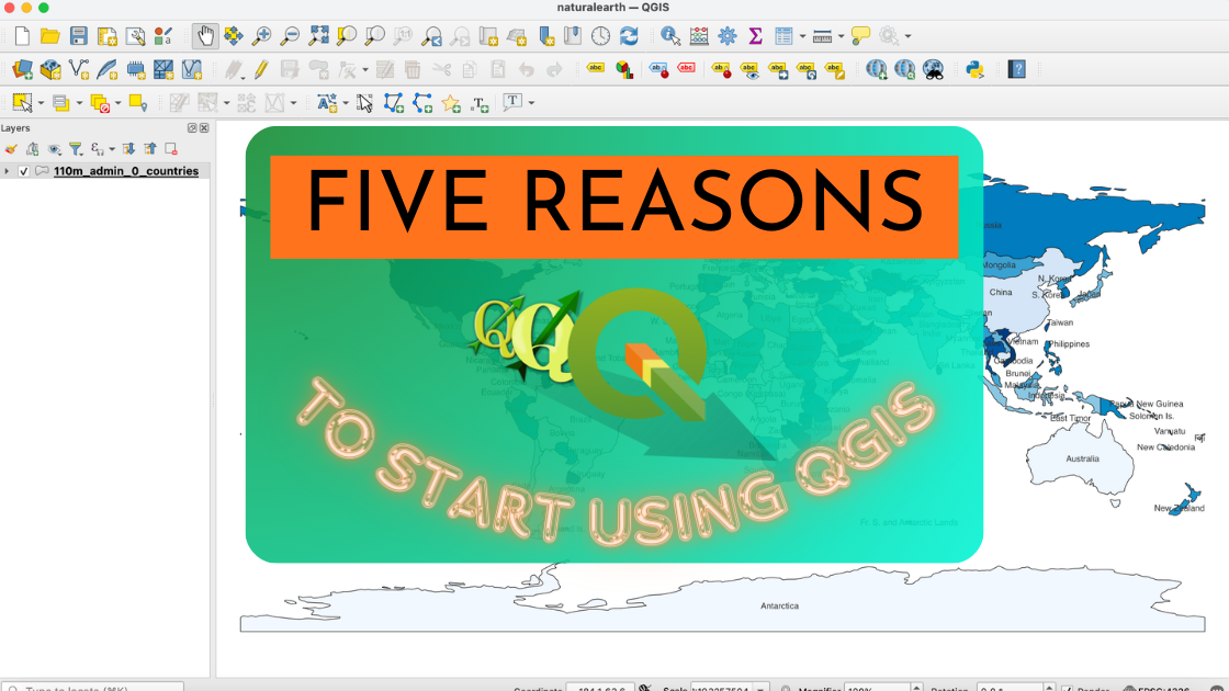
If you’re unsure about trying out the open source GIS platform called QGIS, here are five really good reasons why you should give it a …

Picture your GIS software not only being knowledgeable but also continually learning, becoming more intelligent and adept at understanding the world around us. Welcome to …
Are you new to GIS and eager to step into the exciting world of Geographic Information Systems? Numerous GIS professionals have already paved the way …
Are you ready to embark on a journey into the world of GIS programming? If so, get ready to explore the vast landscape of programming …
Introduction ArcMap is a cartographer’s dream, offering a multitude of tools to create visually captivating maps. Whether you’re a seasoned GIS professional or just starting …
The Geographic Information System (GIS) industry in Pakistan has witnessed remarkable growth in recent years. With increasing awareness of the importance of spatial data and …
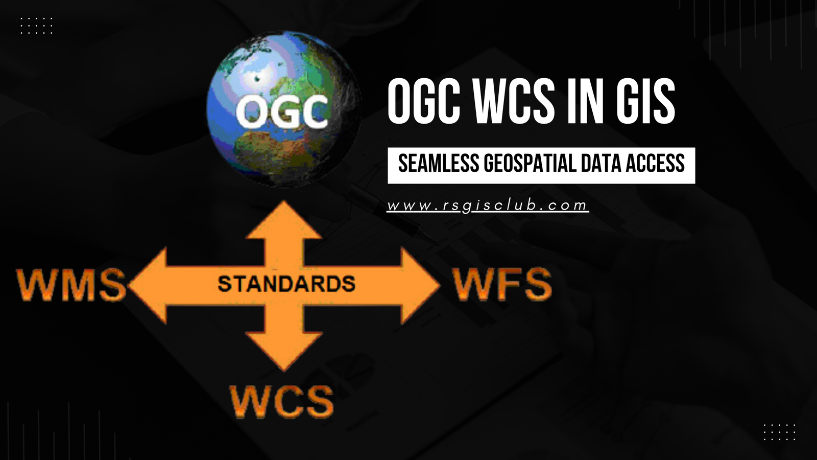
In the realm of Geographic Information Systems (GIS), the efficient management and dissemination of geospatial data are of paramount importance. The Open Geospatial Consortium (OGC) …
Metadata plays a pivotal role in the world of Geographic Information Systems (GIS). It provides valuable information about geospatial datasets, enabling users to comprehend the …