
I will write custom google earth engine scripts for satellite image processing
I will do accurate map digitizing and georeferencing HQ precision , arcgis , qgis
I will do accurate map digitizing and georeferencing HQ precision , arcgis , qgis
I will write custom google earth engine scripts for satellite image processing

One of the most basic questions asked of a GIS (Geographic Information System) is “What’s on top of what?” For example: Before GIS, cartographers would …

Picture your GIS software not only being knowledgeable but also continually learning, becoming more intelligent and adept at understanding the world around us. Welcome to …

Whether you’re someone who studies Earth science, a person really interested in geography, or just someone curious about the world, there are many different types …

Are you new to GIS and eager to step into the exciting world of Geographic Information Systems? Numerous GIS professionals have already paved the way …

Wondering what to include in your maps? This guide, acting as your compass, outlines 33 map elements that will steer you in the right direction, …
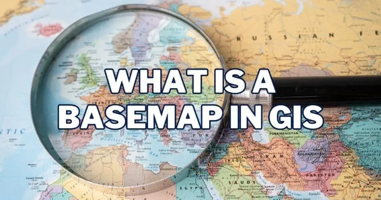
Basemaps play a pivotal role in providing geographic context to maps and other data layers. These maps are essential for enhancing spatial analysis and modeling, …

In the rapidly evolving world of Geographic Information Systems (GIS), having a recognized certification can be a game-changer for professionals seeking to advance their careers …

Introduction In recent years, the need for sustainable development has become a top priority for governments, organizations, and communities worldwide. The Environmental Impact Assessment (EIA) …