GIS Companies Offering GIS Jobs in Pakistan
The Geographic Information System (GIS) industry in Pakistan has witnessed remarkable growth in recent years. With increasing awareness of the importance of spatial data and …
The Geographic Information System (GIS) industry in Pakistan has witnessed remarkable growth in recent years. With increasing awareness of the importance of spatial data and …

Introduction: Geographic Information Systems (GIS) have revolutionized the way we understand and analyze spatial data. From mapping and visualization to complex spatial analysis, GIS has …
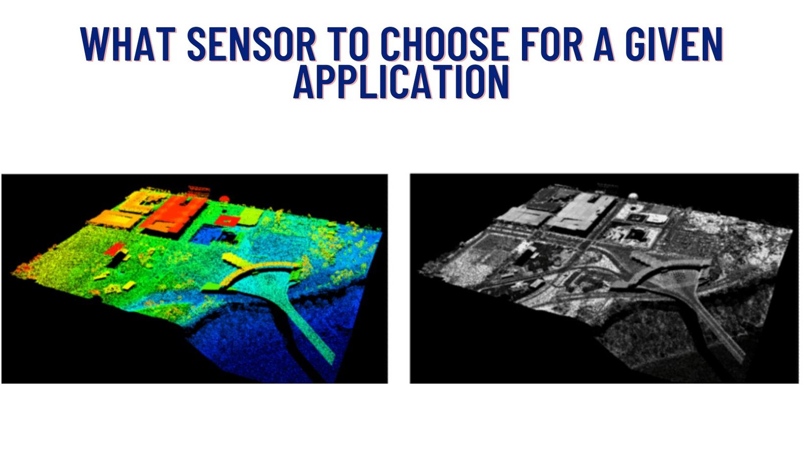
In today’s world, where technology is advancing at an unprecedented pace, there are various tools available to capture and analyze spatial data. Two prominent methods …
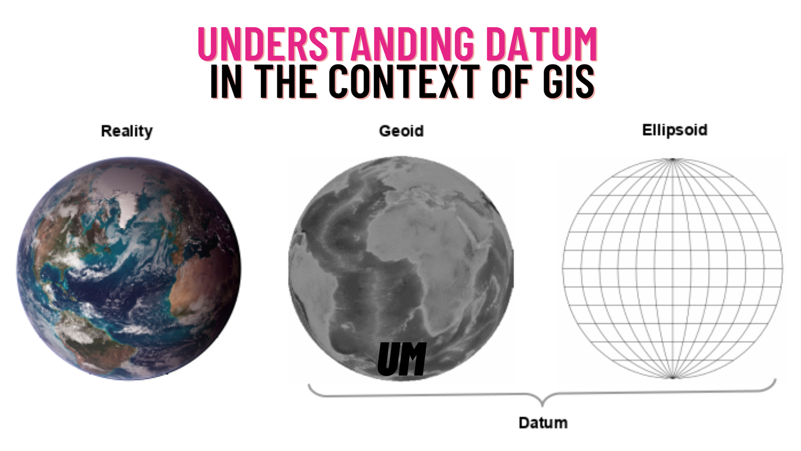
In the field of Geographic Information Systems (GIS), a crucial aspect that governs the accurate representation and analysis of spatial data is the concept of …