Python Libraries for GIS and Mapping
Python libraries are great tools for GIS because they help you do a lot more with it. Using Python libraries, you can go beyond the basics of GIS and explore more advanced data science. Today, we’re focusing on Python libraries in GIS. What are the most popular Python packages that GIS professionals use? Let’s find out!
First, why use Python libraries for GIS?
Have you ever needed GIS to do something it just can’t do? No GIS software can do everything, but Python libraries can add those missing features.
A Python library is basically code written by someone else to help make our lives easier. Developers have made open libraries for things like machine learning, reporting, graphing, and more in Python.
If you want these extra features, you can use these libraries by adding them to your Python script. Then, you can use functions that aren’t normally part of your GIS software.
Python Libraries for GIS
If you were to create a dream team of Python libraries for GIS, this would be it. These libraries help you do much more than just manage, analyze, and visualize spatial data. That’s what a Geographic Information System is all about!
- Arcpy
If you use Esri ArcGIS, you’ve probably heard of the ArcPy library. ArcPy is designed for geoprocessing operations. It helps with not just spatial analysis, but also data conversion, management, and map production in Esri ArcGIS.
- Geopandas
Geopandas is like pandas for GIS. Instead of just regular data analysis, Geopandas adds a geographic element. For overlay operations, Geopandas uses Fiona and Shapely, which are other Python libraries.
- GDAL/OGR
The GDAL/OGR library helps convert between different GIS formats and extensions. Almost all GIS software, like QGIS, ArcGIS, ERDAS, ENVI, and GRASS GIS, use it for this purpose. Right now, GDAL/OGR supports 97 vector and 162 raster drivers.

- RSGISLib
The RSGISLib library has tools for remote sensing and raster analysis. It can classify, filter, and do statistics on images. One of the coolest features is its module for object-based segmentation and classification (GEOBIA).
- PyProj
The main job of the PyProj library is to work with spatial referencing systems. It can project and transform coordinates using different geographic reference systems. PyProj can also do geodetic calculations and measure distances for any given datum.
Python Libraries for Data Science
Data science helps us understand data by finding insights. It takes data and makes sense of it, like by creating graphs or using machine learning. Here is a list of Python libraries that can help you do this.
- NumPy
Numerical Python (NumPy) helps you organize your data into a structured array, making it faster for scientific computing. It’s great because it works well with other Python libraries like SciPy for complex statistical operations.
- Matplotlib
When you have lots of data points, sometimes the best way to understand them is to plot them out. Matplotlib is a library that helps you create graphs, charts, and maps. It’s good at handling even large amounts of data.
- Pandas
The Pandas library is very popular for handling data. It’s not just for statisticians; it’s useful for GIS too. Pandas is great because its data frames are optimized to work with big data, much more efficiently than something like Microsoft Excel.
- Re (Regular Expressions)
Regular expressions (Re) are a powerful tool for searching and filtering text in your data. You can use it to find, detect, extract, and replace specific patterns in your tables.
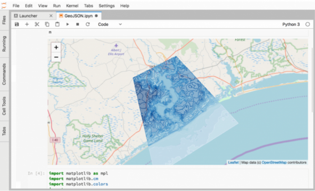
- ipyleaflet
If you want to create interactive maps, ipyleaflet is a combination of Jupyter notebook and Leaflet. It lets you customize maps, load basemaps, geojson, and widgets, and choose from various map types like choropleth and side-by-side views.
- ReportLab
ReportLab is great for creating detailed reports. GIS often lacks good reporting capabilities, but with ReportLab, you can create custom report templates. It’s a valuable tool that deserves more attention.
- Folium
Like ipyleaflet, Folium helps you make interactive web maps using Leaflet. You can manipulate your data in Python and then visualize it with this open-source JavaScript library.
- Geemap
Geemap is used for scientific data analysis with Google Earth Engine (GEE). Scientists and researchers use it to explore the huge catalog of satellite imagery in GEE for remote sensing applications.
- LiDAR
The LiDAR Python Package is for processing and visualizing LiDAR data. It includes tools to smooth, filter, and extract properties from digital elevation models (DEMs). It’s useful for terrain and hydrological analysis.
- Scikit
Machine learning is very popular right now, and Scikit is a Python library that makes it possible. Built on NumPy, SciPy, and Matplotlib, Scikit is great for data mining, classification, and making predictions with machine learning.
The Python Libraries All-Star Team
These are the Python libraries we think are the best for GIS and data science. Now it’s your turn. If you could build an all-star team of Python libraries, which ones would you choose? Let us know in the comments below!