GIS stands for Geographic Information System, which is a computer-based system designed to capture, store, analyze, manage and display spatial or geographic data. GIS combines hardware, software, and data to allow users to visualize and understand patterns, relationships, and trends in the real world that are linked to a particular location or place.
GIS technology can be used in a variety of fields, such as environmental management, urban planning, natural resource management, transportation planning, emergency management, and many others. GIS can help in making informed decisions, identifying patterns and trends, assessing risks, and providing solutions to complex problems by integrating various types of data such as satellite imagery, aerial photographs, GPS data, and others.
In short, GIS provides a powerful set of tools to capture, store, manipulate, and analyze spatial data, which can help in better decision-making and planning in many different fields.
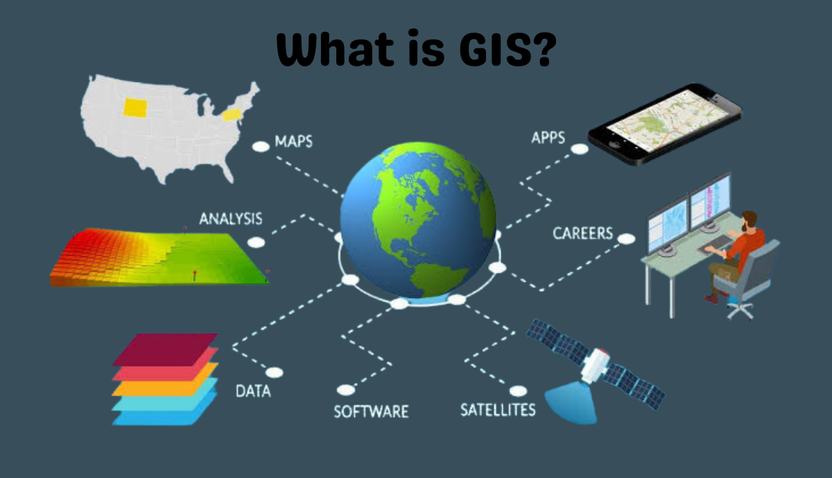
GIS technology is built on several key components, including data, software, hardware, people, and methods. These components work together to provide a powerful system that can be used to analyze, visualize, and manage geographic data.
The data component is one of the most important parts of a GIS. GIS data is often stored in databases or file formats that allow for easy manipulation and analysis. GIS data can include a wide range of information, such as topography, land use, population demographics, transportation networks, and environmental features. This data can come from various sources, including government agencies, private companies, and satellite imagery.
GIS software is used to create, manipulate, and analyze spatial data. There are many different types of GIS software available, ranging from open-source to proprietary, and from desktop to web-based applications. These software tools are used to perform a variety of tasks, such as data entry, data manipulation, data analysis, and data visualization.
GIS hardware is the physical equipment used to support GIS software and data. This can include computers, servers, printers, scanners, GPS devices, and other tools used for data acquisition and analysis.
People are a critical component of GIS. Skilled professionals are required to create, manage, and analyze GIS data. GIS professionals often have backgrounds in geography, environmental science, engineering, or computer science.
Finally, methods refer to the processes and procedures used to develop, implement, and maintain GIS systems. These methods can include data collection, data processing, data analysis, and data visualization techniques.
Overall, GIS technology provides a powerful set of tools to analyze and manage spatial data, which can be used to inform decision-making and solve complex problems in a wide range of fields.