Geographic Information Systems (GIS) are powerful tools used for managing and analyzing spatial data. At the heart of GIS is the concept of a coordinate system, which is a fundamental component that allows GIS users to accurately locate and analyze geographic features.
A coordinate system is a reference framework used to define the position of objects in space. In GIS, a coordinate system consists of two main components: a geographic coordinate system (GCS) and a projected coordinate system (PCS).
A geographic coordinate system (GCS) is a reference framework used to define the location of objects on the earth’s surface. It uses a three-dimensional spherical coordinate system to specify the position of a point on the earth’s surface, using latitude and longitude values. Latitude measures the distance north or south of the equator, while longitude measures the distance east or west of the prime meridian.
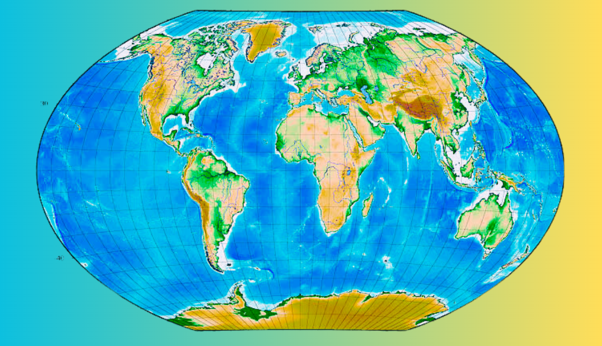
A projected coordinate system (PCS) is a two-dimensional coordinate system that is derived from a GCS. It is used to represent the earth’s curved surface on a flat map or screen. PCS uses a set of mathematical formulas to transform the coordinates of the GCS into a two-dimensional grid of x-y coordinates. This grid is commonly known as a map projection.
There are many different map projections available, each of which has its own advantages and disadvantages depending on the purpose of the map. Some common map projections used in GIS include Mercator, Lambert Conformal Conic, and Albers Equal Area.
Coordinate systems are essential for accurately describing the location of objects or features in space. They are used in GIS to perform spatial analysis, such as measuring distances, calculating areas, and performing geometric operations on spatial data.
It is important to note that when working with GIS data, it is critical to ensure that all datasets are using the same coordinate system. If datasets are using different coordinate systems, they may not line up properly and will produce inaccurate results when analyzed together.
In conclusion, coordinate systems are an integral part of GIS and are essential for accurately describing and analyzing spatial data. Understanding the different types of coordinate systems and how to choose the appropriate system for a specific purpose is crucial for successful GIS analysis.