Learn about raster MB tiles and how to create them using QGIS. This comprehensive guide will walk you through the process step by step, providing expert insights and tips for a seamless experience.
If you’re a geospatial enthusiast or a professional working with geographic data, you’ve probably come across raster MB tiles and their significance in modern mapping applications. Raster MB tiles are a popular way to store and display large raster datasets efficiently, making them ideal for web mapping applications. In this article, we will delve into the world of raster MB tiles, understanding what they are, their advantages, and most importantly, how to create them using QGIS.
What are Raster MB Tiles?
Before we jump into the process of creating raster MB tiles using QGIS, let’s first understand what they are. Raster MB tiles, also known as Mapbox tiles, are a tile format used to serve raster map data on the web. These tiles are essentially small square images that represent a portion of a larger map. When combined, they create a seamless and interactive map experience for users.
The concept of tiling large raster datasets allows for quick retrieval and rendering of specific map areas. Rather than loading an entire large raster image, the map application can request and display only the required tiles, significantly reducing data transfer and load times.
Advantages of Raster MB Tiles
Raster MB tiles offer several advantages, making them a preferred choice for web mapping applications. Let’s explore some of these key advantages:
- Fast Loading Times: Due to the tiled structure, only the required tiles are fetched and displayed, leading to faster loading times and a smoother user experience.
- Seamless Zooming: Raster MB tiles allow for smooth zooming in and out of the map, providing users with detailed views without compromising on performance.
- Offline Accessibility: Once the tiles are cached, users can access and view maps even in offline mode, making them suitable for applications in remote areas or regions with limited internet connectivity.
- Custom Styling: Map designers and developers can customize the appearance of raster MB tiles, ensuring the maps align with the overall look and feel of their application.
- Scalability: Raster MB tiles are highly scalable, enabling the handling of large datasets and accommodating the growth of web mapping applications.
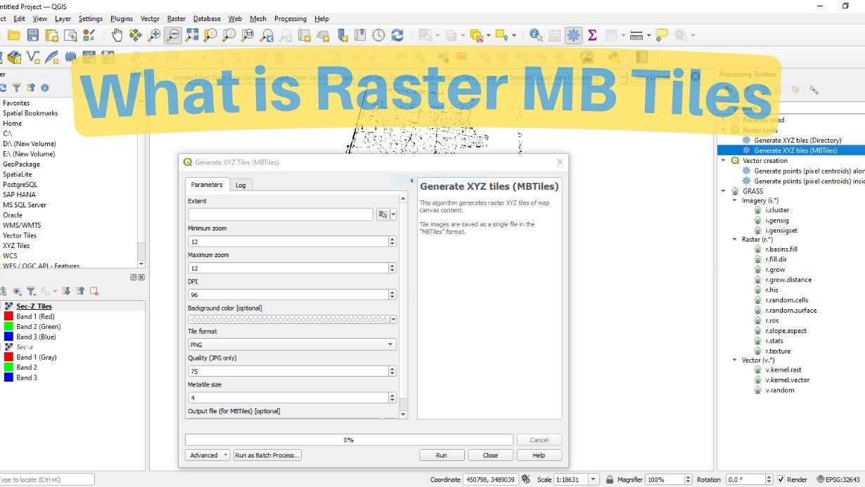
Creating Raster MB Tiles Using QGIS
Now that we have a solid understanding of what raster MB tiles are and their benefits, let’s dive into the step-by-step process of creating them using QGIS. QGIS, a popular open-source geographic information system, provides a user-friendly environment for managing, editing, and visualizing spatial data. Follow the steps below to create raster MB tiles:
1. Install QGIS and Required Plugins
To get started, download and install the latest version of QGIS from the official website QGIS. Additionally, you’ll need to install the “QTiles” plugin, which allows for easy generation of raster tiles from QGIS data.
2. Prepare Your Raster Data
Before creating the MB tiles, ensure your raster data is ready for processing. You can use various data sources, including satellite imagery, digital elevation models, or any georeferenced raster dataset.
3. Load the Raster Layer in QGIS
Launch QGIS and add your raster layer to the project. To do this, go to the “Layer” menu, select “Add Layer,” and choose the appropriate data source.
4. Install and Configure the QTiles Plugin
In QGIS, navigate to the “Plugins” menu, click on “Manage and Install Plugins,” and search for “QTiles.” Install the plugin and configure it as needed.
5. Generate Raster MB Tiles
With the QTiles plugin installed, go to the “Web” menu and select “QTiles.” Configure the settings, such as output folder, zoom levels, and image format. Once ready, click “Run” to start the tile generation process.
6. Review and Export Tiles
After the tile generation process is complete, review the tiles in the output folder. Ensure that all the required zoom levels and details are present. If satisfied, export the tiles to your web server or hosting platform.
7. Display Raster MB Tiles on Web Applications
With the raster MB tiles generated and hosted, you can now integrate them into your web mapping application. Use popular mapping libraries such as Leaflet or Mapbox GL JS to display the tiles seamlessly on your web map.
FAQs
- Can I use any raster dataset to create MB tiles using QGIS? Yes, you can use a wide range of raster datasets, including satellite imagery, digital elevation models, scanned maps, and more.
- Do I need a powerful computer to generate raster MB tiles? The processing time for generating MB tiles depends on the size and complexity of your raster data. While a more powerful computer can speed up the process, QGIS is designed to run on standard hardware as well.
- Can I create custom map styles for my raster MB tiles? Absolutely! QGIS allows you to apply custom styling to your raster data before generating the MB tiles, giving you full control over the map’s appearance.
- Are raster MB tiles compatible with mobile devices? Yes, raster MB tiles are compatible with mobile devices. Their small file sizes and fast loading times make them suitable for mobile web mapping applications.
- Is QGIS the only software to create raster MB tiles? While QGIS is an excellent and popular choice, other GIS software and cloud-based solutions also offer options for generating raster MB tiles.
- Can I update the raster MB tiles with new data? Yes, you can update the tiles whenever your raster data changes. Simply regenerate the affected tiles and replace them on your web server.
Raster MB tiles have revolutionized the way we interact with maps on the web. By efficiently dividing large raster datasets into small, manageable tiles, we can provide users with fast, responsive, and visually appealing map experiences. With QGIS, creating raster MB tiles has become accessible and straightforward for both beginners and experienced GIS professionals. So go ahead and give it a try! Unlock the power of raster MB tiles and take your web mapping applications to new heights.