In the realm of Geographic Information Systems (GIS), the efficient management and dissemination of geospatial data are of paramount importance. The Open Geospatial Consortium (OGC) Web Coverage Service (WCS) plays a vital role in facilitating seamless access and exchange of raster data across various GIS platforms. This article explores the fundamentals of OGC WCS, its significance, and how it enriches GIS workflows by enabling users to retrieve, analyze, and share geospatial data effortlessly.

Understanding OGC WCS
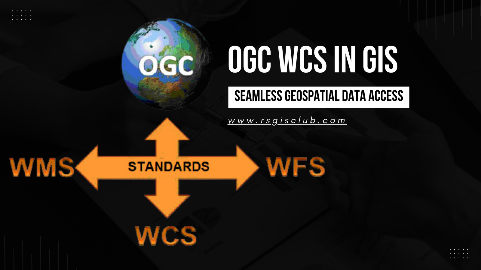
The OGC Web Coverage Service (WCS) is an open standard designed by the OGC to allow clients to access and request raster data over the web. Unlike other OGC services, such as Web Map Service (WMS) and Web Feature Service (WFS), which primarily deal with vector data and map images, WCS is focused on retrieving coverage data, which includes satellite imagery, digital elevation models (DEMs), weather data, and other gridded datasets.
Key Features and Benefits
- Data Interoperability: OGC WCS facilitates interoperability between different GIS platforms and software by providing a standard interface for accessing raster data. This uniformity in data access ensures that data can be seamlessly shared and utilized across various applications, reducing compatibility issues.
- Data Subset and Query: With OGC WCS, users can request specific subsets of raster data based on spatial, temporal, and thematic extents. This feature is particularly useful when working with large datasets, as it allows users to focus on relevant areas of interest, reducing unnecessary data transfers and speeding up analysis.
- Multi-Dimensional Data: WCS supports multi-dimensional data, allowing access to raster data across various dimensions, such as time or elevation. This is crucial for applications that require time-series data or different elevation layers, such as climate modeling and hydrology.
- Client-Side Processing: OGC WCS enables client-side processing, which means that data analysis can be performed on the user’s local machine, reducing server load and promoting faster response times. This capability is especially valuable when dealing with large and complex raster datasets.
Working with OGC WCS in GIS
- Data Access and Retrieval: To access raster data through WCS, GIS software needs to send a request to the WCS server, specifying the required coverage, spatial extent, and format. The server then responds with the requested data, which can be in various formats, such as GeoTIFF, NetCDF, or JPEG.
- Data Visualization: Once the raster data is retrieved, GIS users can visualize it in their preferred GIS software. The data can be displayed as a layer over a map or as raw raster grids, allowing users to analyze and explore the coverage data in detail.
- Data Analysis: OGC WCS empowers users to perform complex spatial analyses on the retrieved raster data. Whether it’s overlaying multiple datasets, conducting change detection, or calculating derived indices, WCS ensures that raster data analysis is accessible and efficient.
- Integration with other OGC Services: OGC WCS can be integrated with other OGC services like WMS and WFS to provide a comprehensive GIS solution. For instance, users can visualize raster data obtained from WCS as a layer on top of a base map fetched from a WMS, creating a more informative and interactive map interface.
OGC WCS is a fundamental component of modern GIS technology, facilitating the seamless retrieval and analysis of raster data over the web. By adhering to OGC standards, it ensures that GIS applications can efficiently exchange and process geospatial data from various sources. With the ability to request specific data subsets and support for multi-dimensional data, WCS empowers GIS professionals and researchers to conduct in-depth analyses, aiding in decision-making processes across a wide range of industries. As GIS continues to evolve, OGC WCS remains an indispensable tool in advancing geospatial data accessibility and analysis.