
Overlay Analysis in GIS
One of the most basic questions asked of a GIS (Geographic Information System) is “What’s on top of what?” For example: Before GIS, cartographers would …
One of the most basic questions asked of a GIS (Geographic Information System) is “What’s on top of what?” For example: Before GIS, cartographers would …
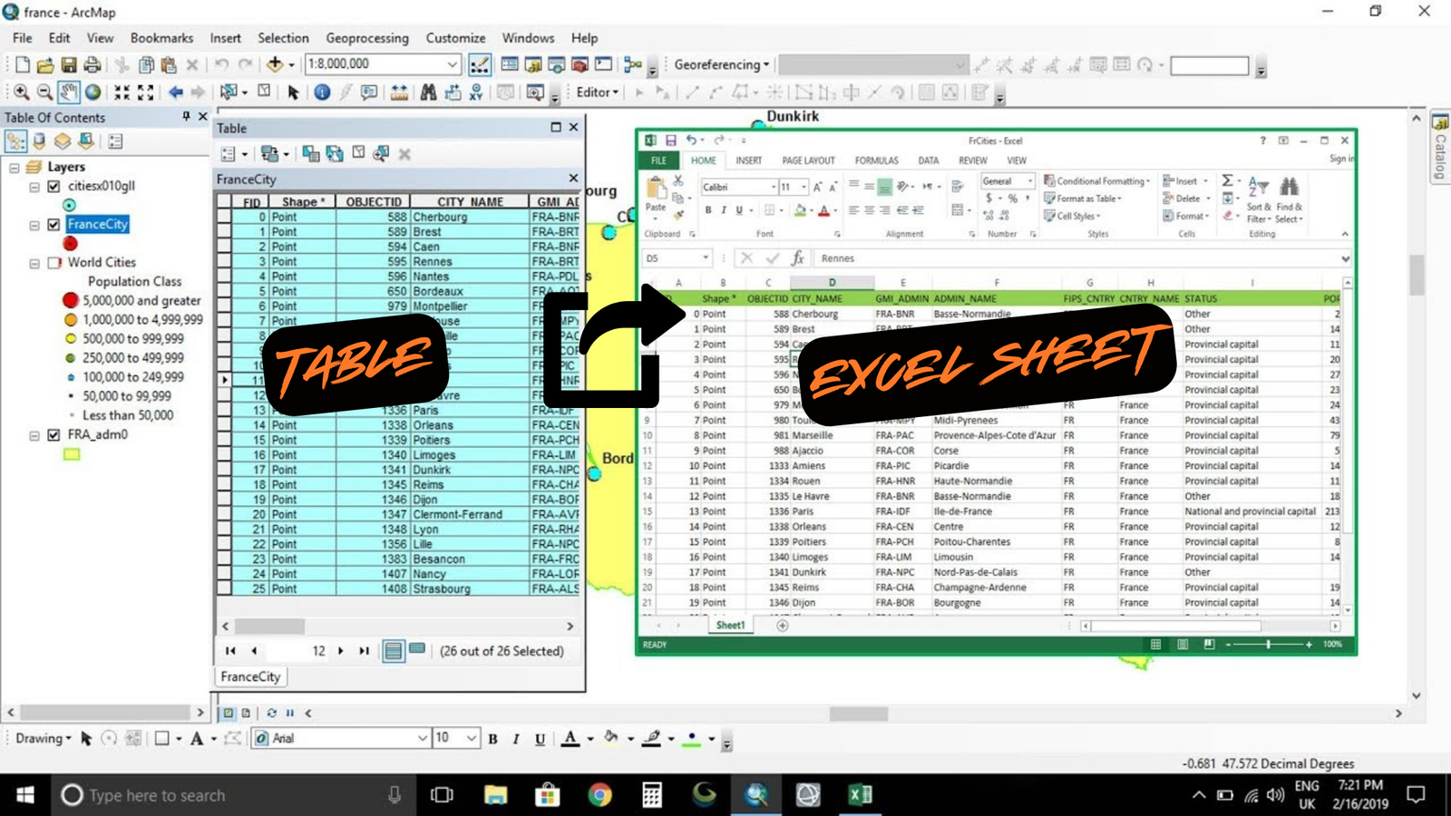
Summary The instructions tell you how to export an attribute table from ArcMap to Microsoft Excel. Procedure Use the Table to Excel tool in ArcMap …

I have a bit of a love-hate relationship with labeling. I love that it makes my maps clearer, but I hate how tedious it can …
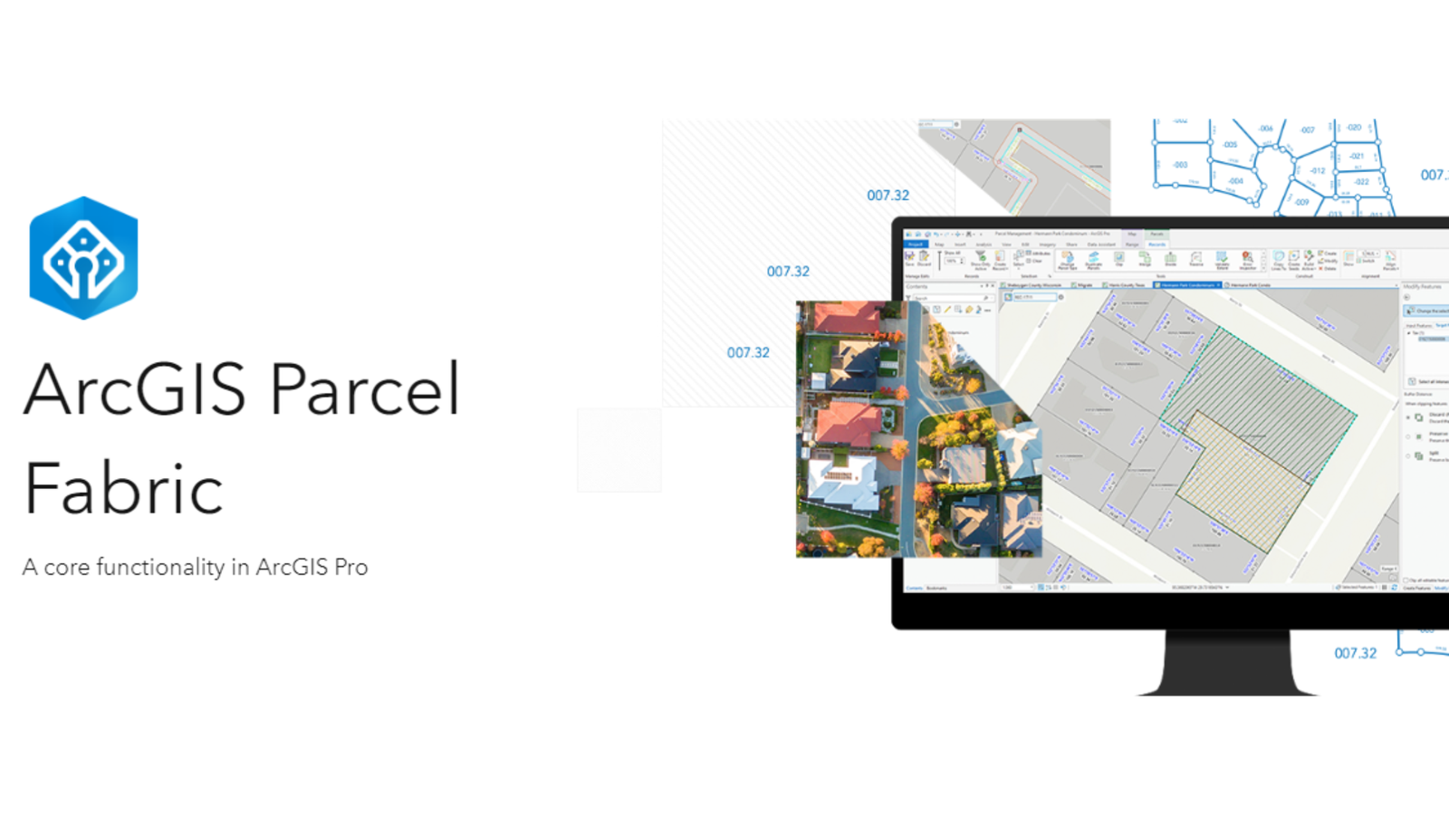
Level: Beginner What you’ll need: No extra files needed, it’s already on your computer! Where to find it: Look in your ArcGIS folder under “ArcGIS\ArcTutor\Parcel …
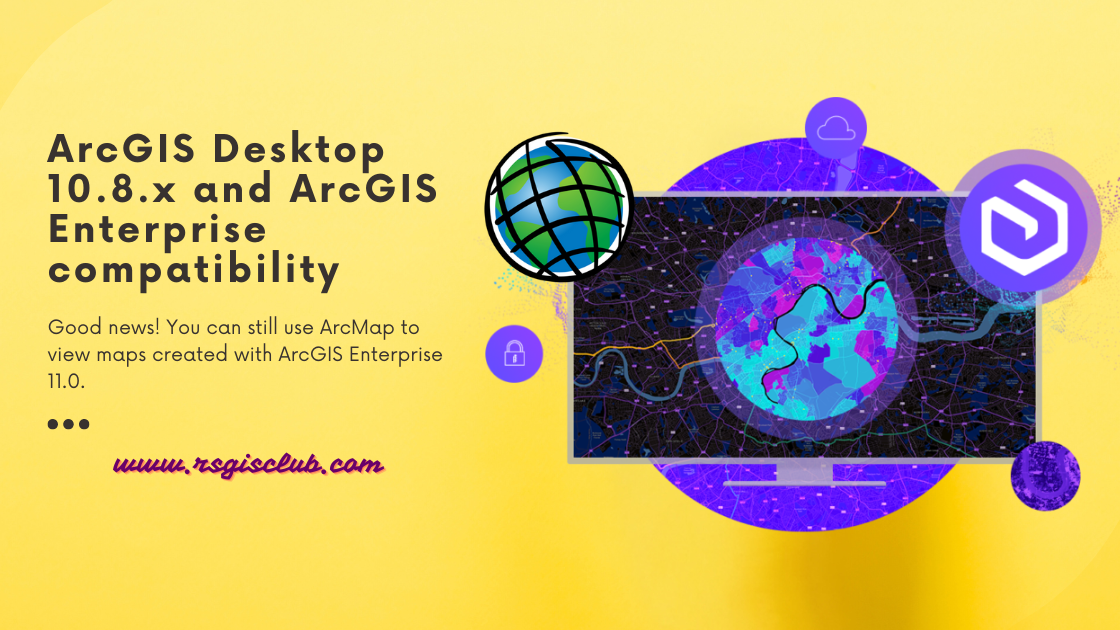
ArcGIS Desktop is getting old and won’t be supported after March 1, 2026. That means there won’t be any more updates or new versions for …
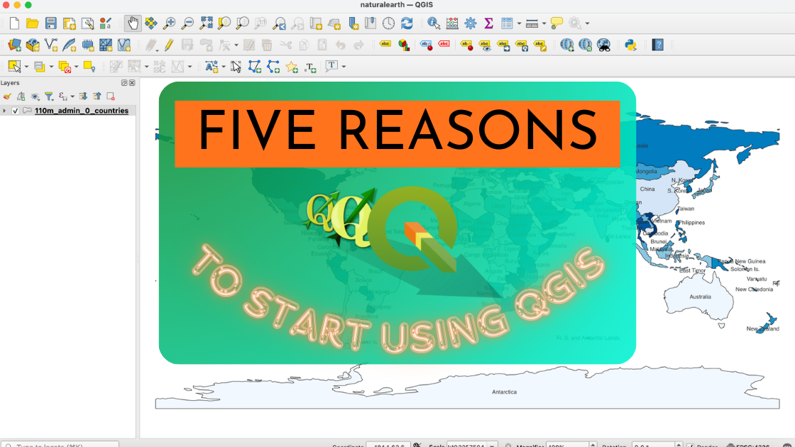
If you’re unsure about trying out the open source GIS platform called QGIS, here are five really good reasons why you should give it a …

“KMZ and KML are both file formats for storing geographic data in Google Earth. Today, we’ll explain the differences between KMZ vs KML. We’ll also …
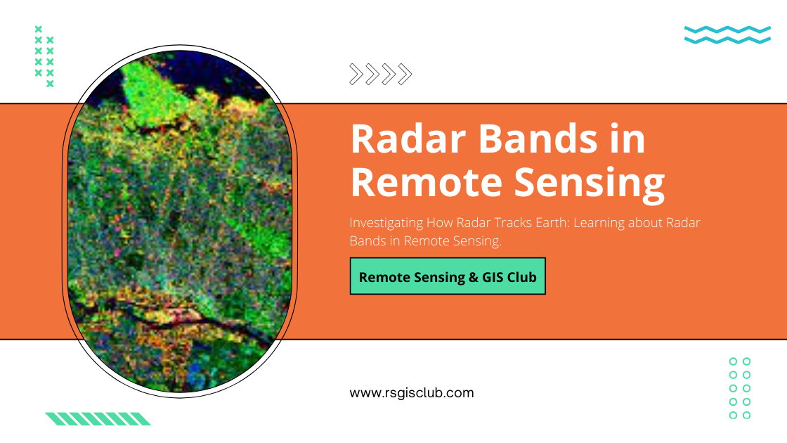
Radar bands are like teams of special waves. Each team can go through the ground in its own special way and show us different things …

Maps with Street View Feature Last year, I wanted to plan a trip to San Francisco but couldn’t decide which hotel to book. Luckily, with …

What Are As-Built Drawings? Imagine as-built drawings as a diary for a building. They capture every little detail from the very beginning of construction all …