LiDAR vs. Photogrammetry: Understanding Mapping Magic
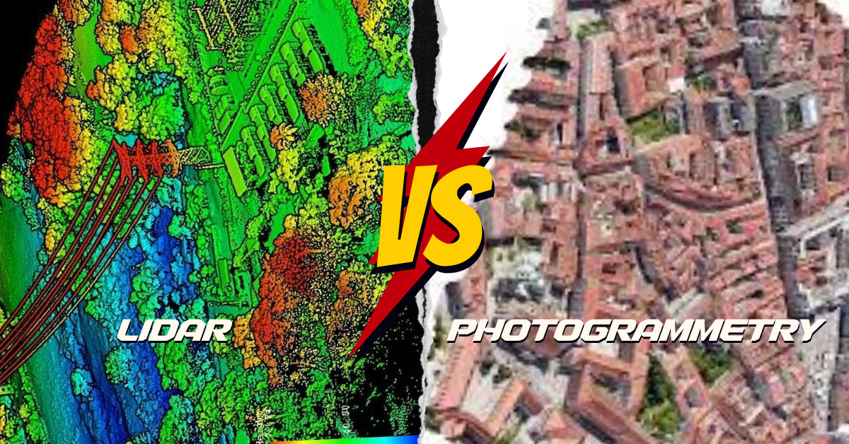
What’s the Difference? LiDAR and photogrammetry are cool ways to make maps of the Earth, but they do it differently. LiDAR is like using a …
What’s the Difference? LiDAR and photogrammetry are cool ways to make maps of the Earth, but they do it differently. LiDAR is like using a …
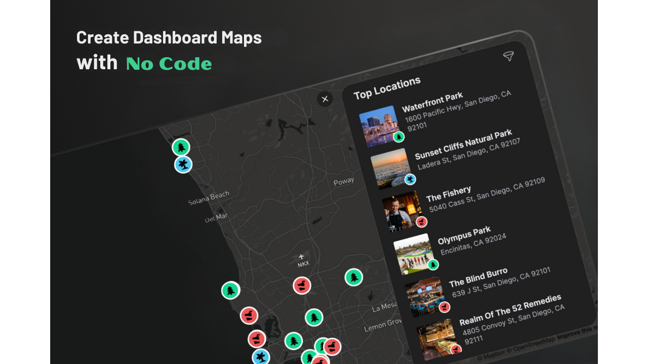
Are you thinking about making a map dashboard but unsure which platform to pick? No worries! We’ve got you covered. Today, we’re going to talk …
Map symbols include icons, colors, lines, and visual elements that convey information about the physical world. These symbols help communicate details such as roads, rivers, …

Picture your GIS software not only being knowledgeable but also continually learning, becoming more intelligent and adept at understanding the world around us. Welcome to …
Buffering Tools in ArcMap To create buffers, GIS software tools like ArcMap or QGIS can be employed. These tools help visualize and analyze specific areas …
What is Google Earth Engine (GEE)? Google Earth Engine (GEE) is a platform in the cloud that provides a massive collection of satellite imagery for …
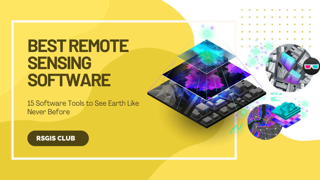
Whether you’re someone who studies Earth science, a person really interested in geography, or just someone curious about the world, there are many different types …
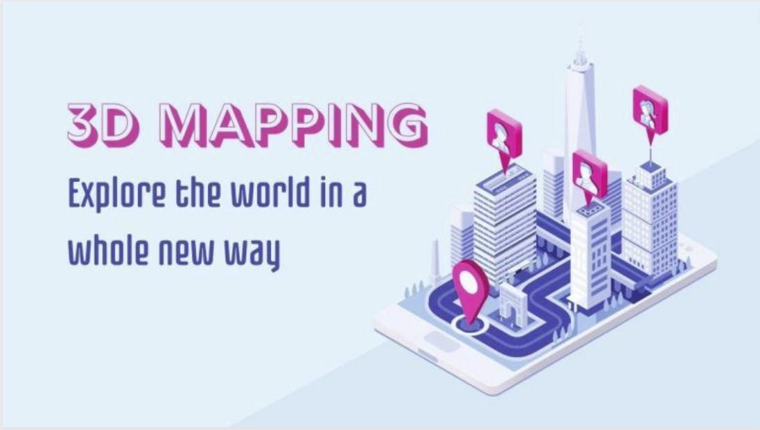
Introduction 3D mapping, an innovative technology making waves in the geospatial industry, involves capturing elevated locations in a digital format. In simpler terms, it creates …

In the contemporary landscape of data-centric businesses, the ability to visually analyze and interpret data holds immense importance for making well-informed decisions. The ArcGIS Business …
GIS data, like any other information, isn’t flawless. It may contain errors or inaccuracies that can impact GIS analysis outcomes. Some common sources of errors …