GIS Project Manager – Riyadh, Saudi Arabia
About the job We are a digitally native company where innovation, design and engineering meet scale. We use the latest technologies in the digital and …
About the job We are a digitally native company where innovation, design and engineering meet scale. We use the latest technologies in the digital and …

Exploring the World with SAS Planet Nowadays, exploring the world is easier than ever because of digital technology. With advanced maps and satellite imagery, we …
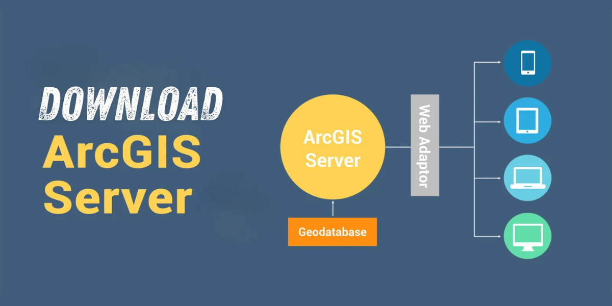
Download Are you looking for a way to share geographic information with others in your organization and beyond? Look no further than ESRI ArcGIS Server …

SYSTRAAbout the job SYSTRA is one of the world’s leading engineering and consultancy groups with 65 years of experience and employing more than 10,500 employees …
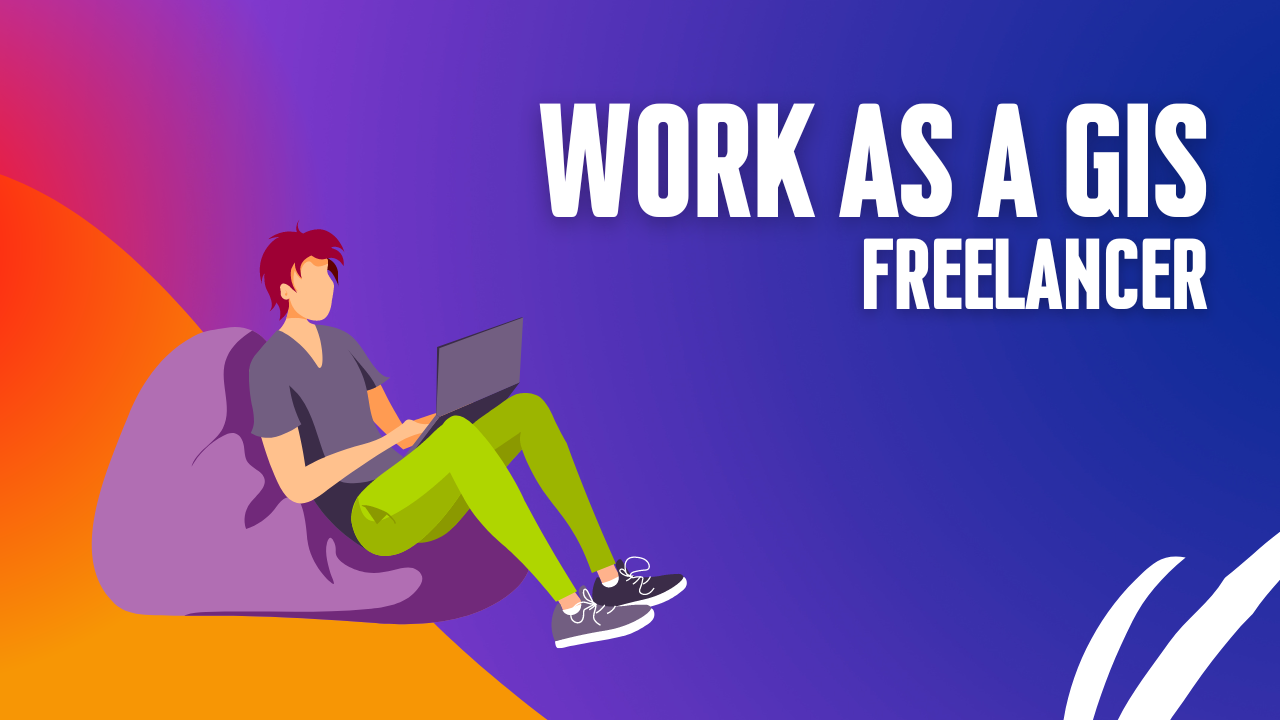
Thinking about making extra money with GIS? I’m not super excited about freelance GIS work. There are some downsides, like no steady paycheck, no benefits, …
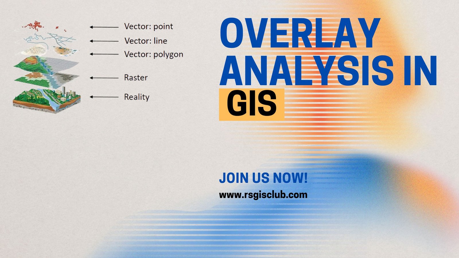
One of the most basic questions asked of a GIS (Geographic Information System) is “What’s on top of what?” For example: Before GIS, cartographers would …
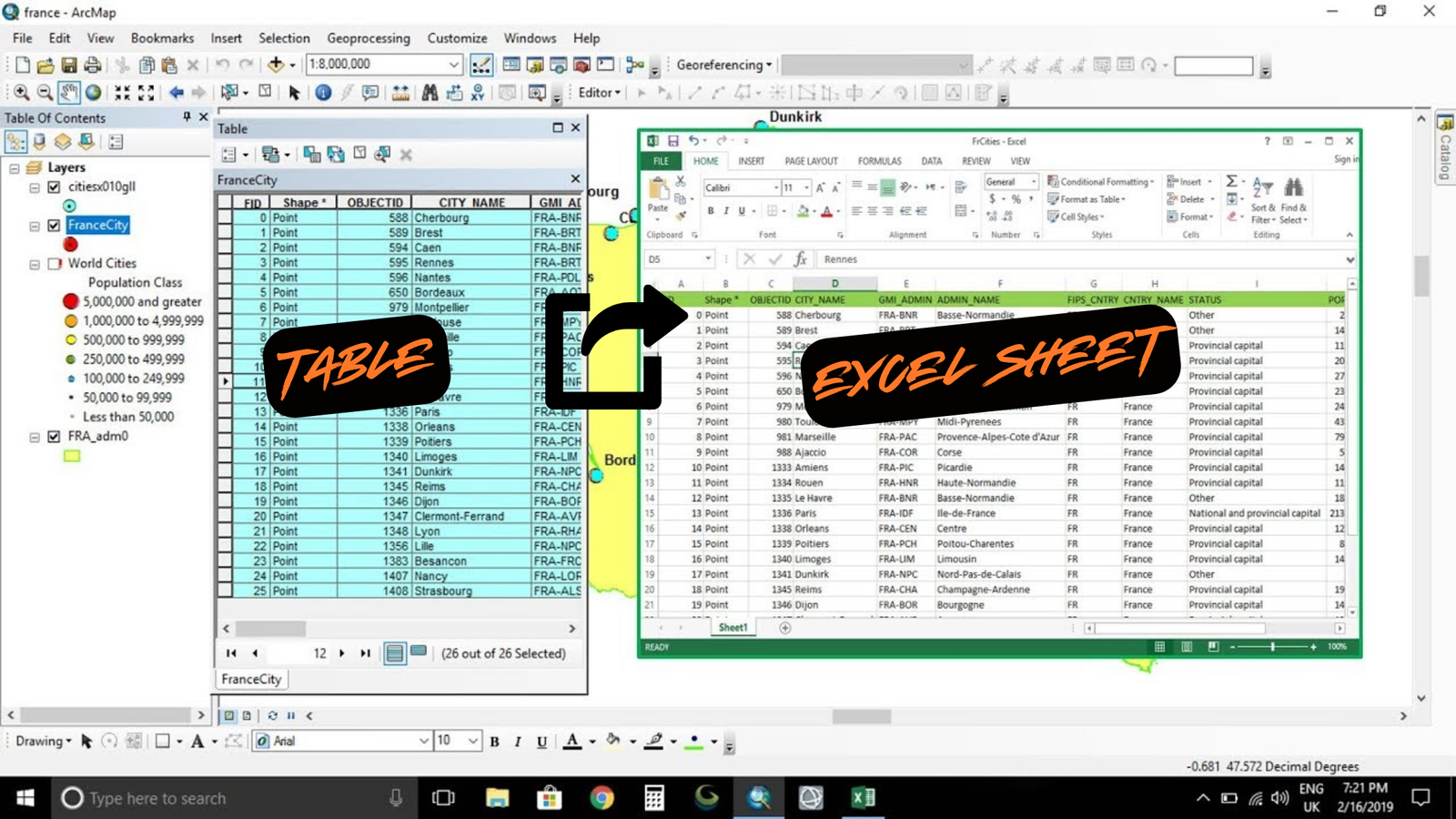
Summary The instructions tell you how to export an attribute table from ArcMap to Microsoft Excel. Procedure Use the Table to Excel tool in ArcMap …
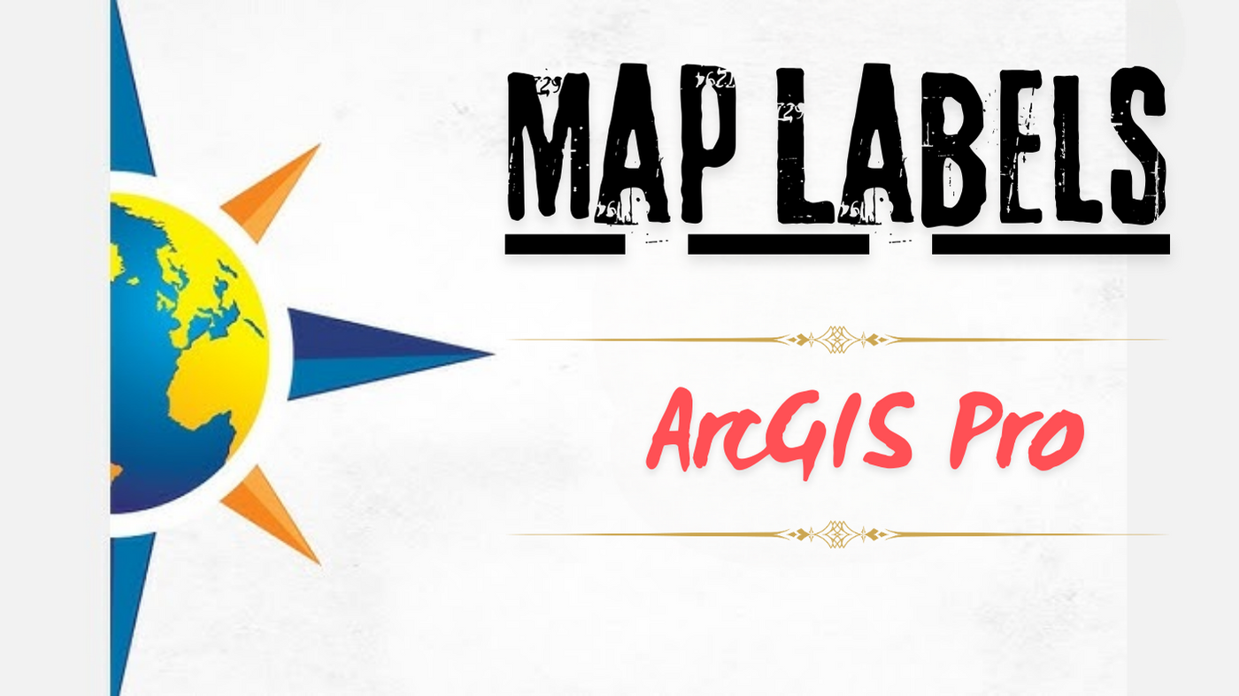
I have a bit of a love-hate relationship with labeling. I love that it makes my maps clearer, but I hate how tedious it can …
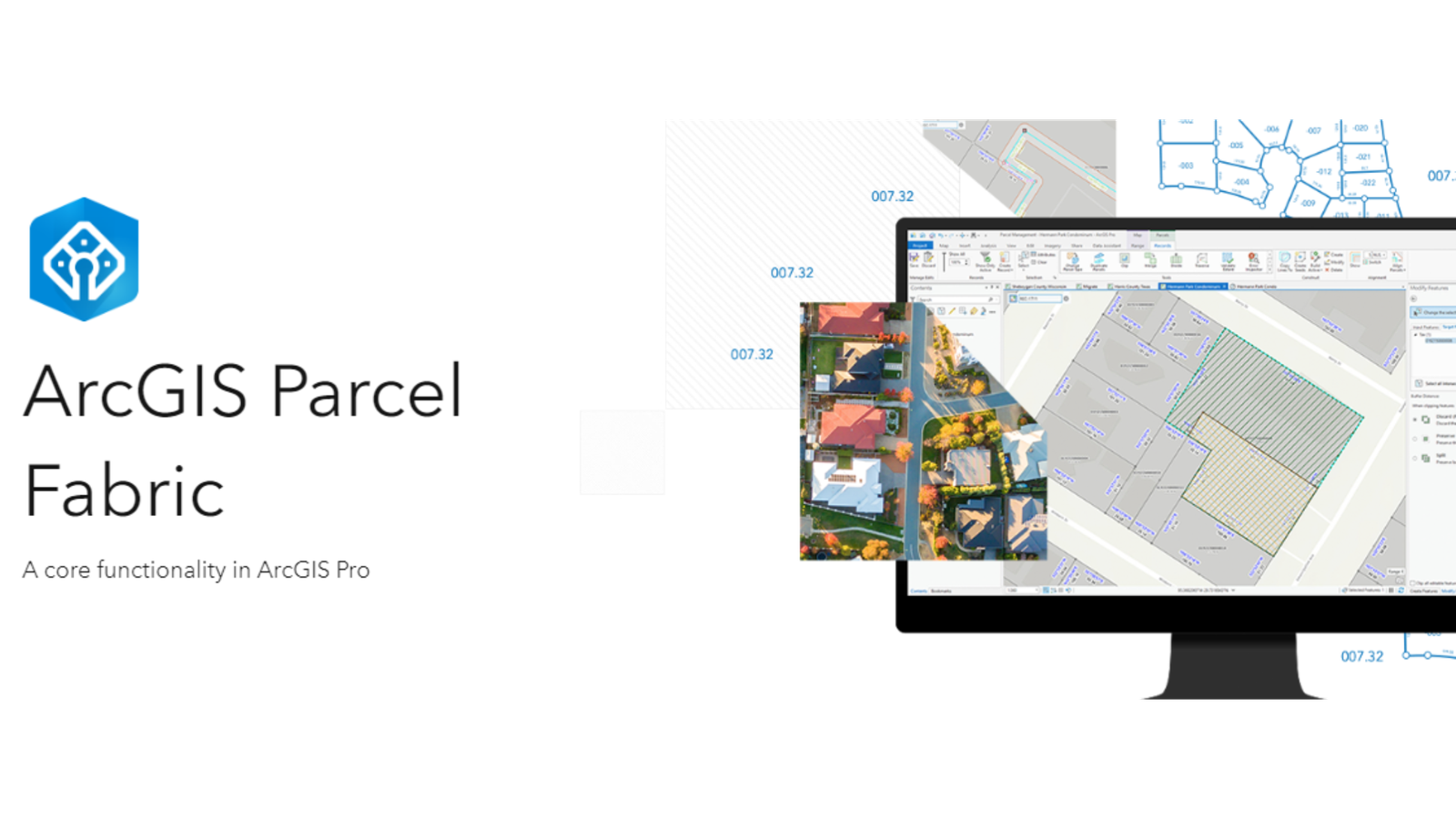
Level: Beginner What you’ll need: No extra files needed, it’s already on your computer! Where to find it: Look in your ArcGIS folder under “ArcGIS\ArcTutor\Parcel …
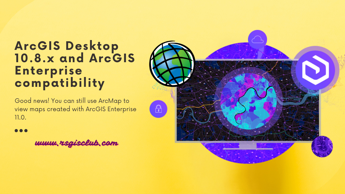
ArcGIS Desktop is getting old and won’t be supported after March 1, 2026. That means there won’t be any more updates or new versions for …