REASONS TO START USING QGIS
If you’re unsure about trying out the open source GIS platform called QGIS, here are five really good reasons why you should give it a …
If you’re unsure about trying out the open source GIS platform called QGIS, here are five really good reasons why you should give it a …

“KMZ and KML are both file formats for storing geographic data in Google Earth. Today, we’ll explain the differences between KMZ vs KML. We’ll also …
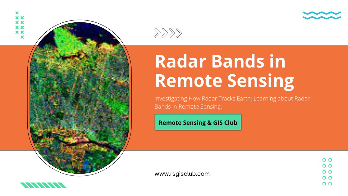
Radar bands are like teams of special waves. Each team can go through the ground in its own special way and show us different things …
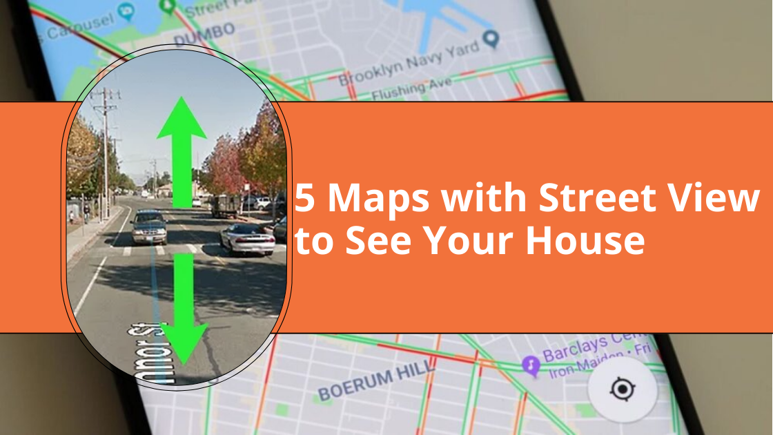
Maps with Street View Feature Last year, I wanted to plan a trip to San Francisco but couldn’t decide which hotel to book. Luckily, with …
What Are As-Built Drawings? Imagine as-built drawings as a diary for a building. They capture every little detail from the very beginning of construction all …
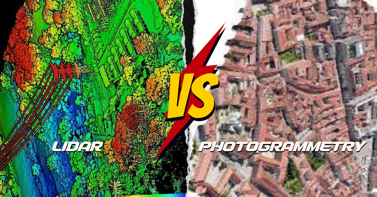
What’s the Difference? LiDAR and photogrammetry are cool ways to make maps of the Earth, but they do it differently. LiDAR is like using a …
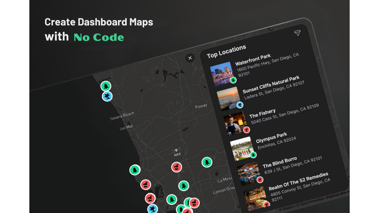
Are you thinking about making a map dashboard but unsure which platform to pick? No worries! We’ve got you covered. Today, we’re going to talk …
Map symbols include icons, colors, lines, and visual elements that convey information about the physical world. These symbols help communicate details such as roads, rivers, …

Picture your GIS software not only being knowledgeable but also continually learning, becoming more intelligent and adept at understanding the world around us. Welcome to …
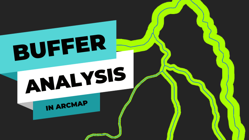
Buffering Tools in ArcMap To create buffers, GIS software tools like ArcMap or QGIS can be employed. These tools help visualize and analyze specific areas …