ArcGIS Drone2Map
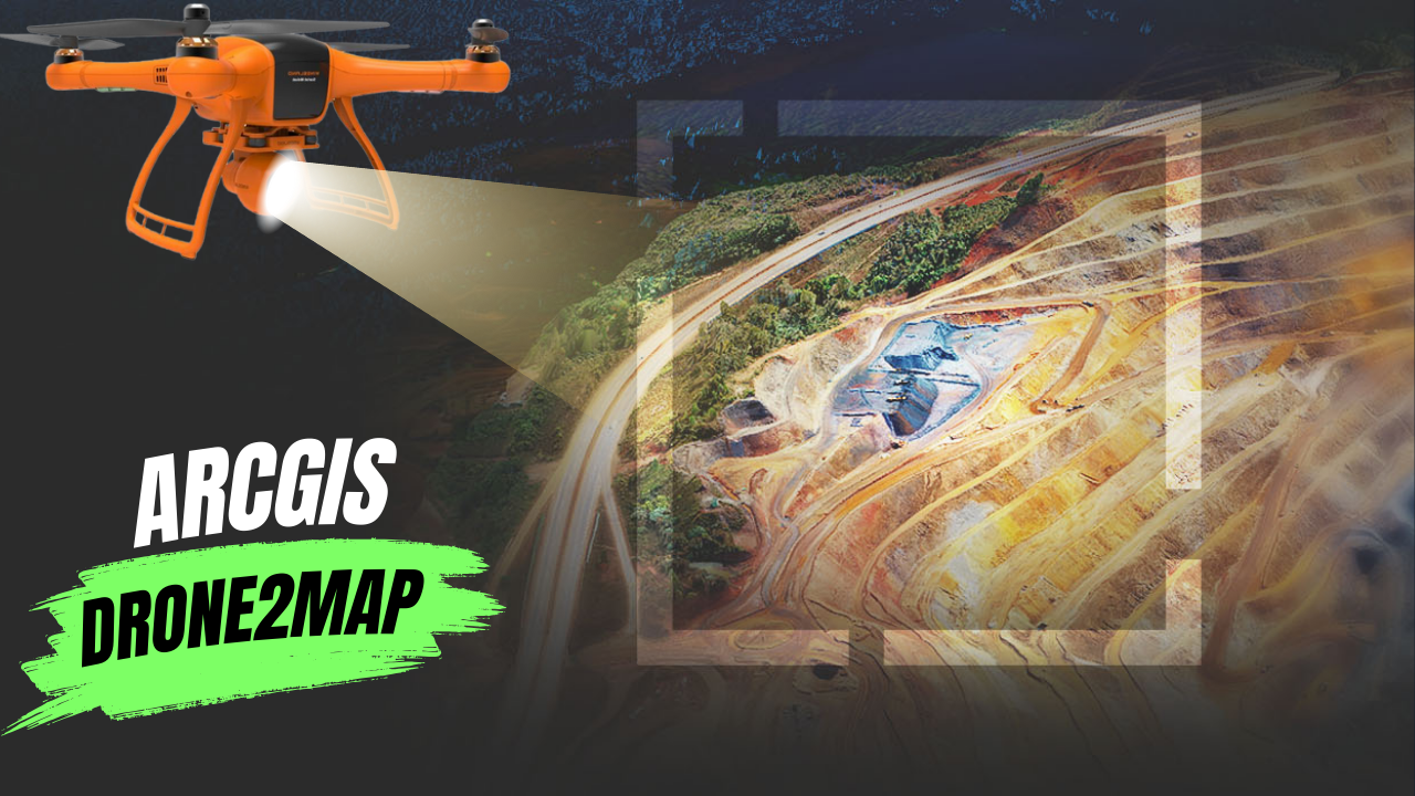
What Is ArcGIS Drone2Map? ArcGIS Drone2Map is an app for your computer that helps you create maps with drone images. You can use any modern …
What Is ArcGIS Drone2Map? ArcGIS Drone2Map is an app for your computer that helps you create maps with drone images. You can use any modern …
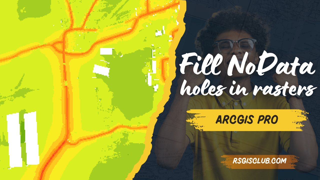
Understanding and Filling Gaps in Rasters Rasters can sometimes have holes, also known as voids, gaps, or NoData areas. These gaps can be big and …
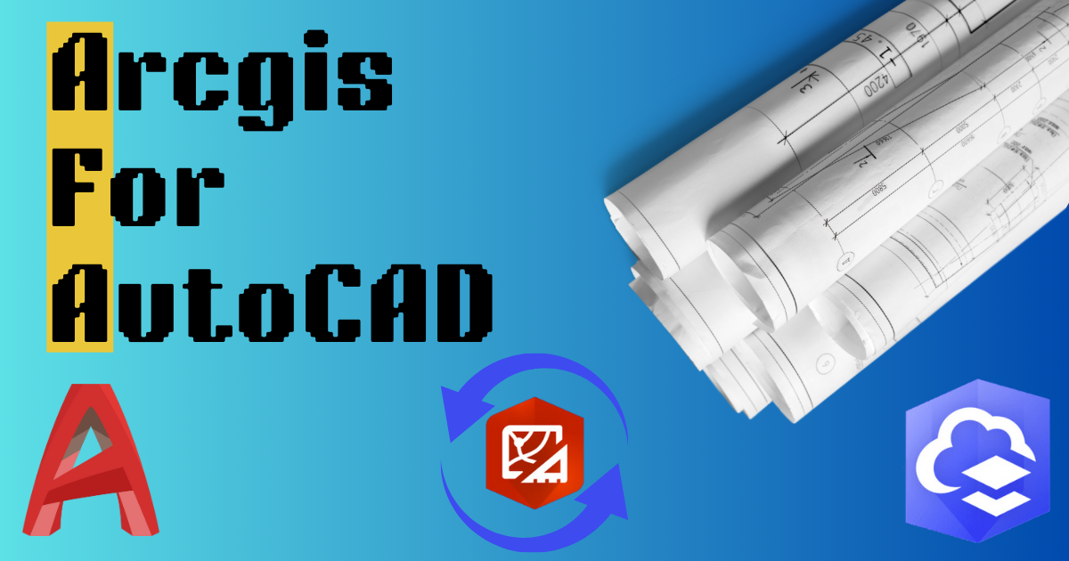
When different teams work on the same project, they can use their favorite tools together. ArcGIS helps GIS and CAD teams work together on parcel …
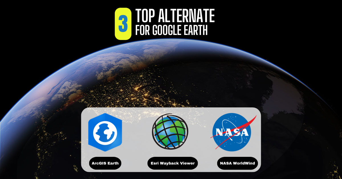
What Is Google Earth? Google Earth has always been a favorite for virtual explorers. Its historical images, 3D features, and ability to explore different places …

In Pakistan, land ownership and management are crucial aspects of rural life, overseen by local officials known as Patwaris. These village accountants play a vital …
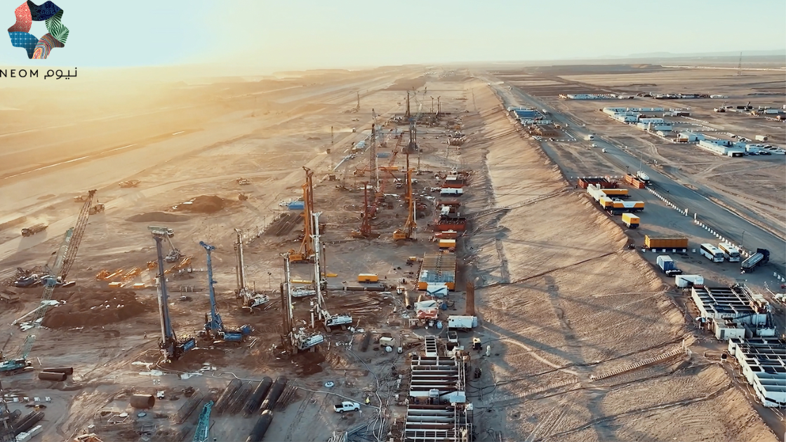
NEOM, Saudi Arabia Job Description Sector NEOM Authority OVERVIEW Position Senior Manager Data Visualization and GIS Job Code Reports to Senior Manager Data …

Python Libraries for GIS and Mapping Python libraries are great tools for GIS because they help you do a lot more with it. Using Python …

About the job Job Purpose Candidate will be responsible of developing geospatial technologies and producing databases, interpret geospatial and geographic data. Will be performing the …

About the job About the Role: Are you a GIS Developer looking to make your next career move? Trouve Labs is on the hunt for …
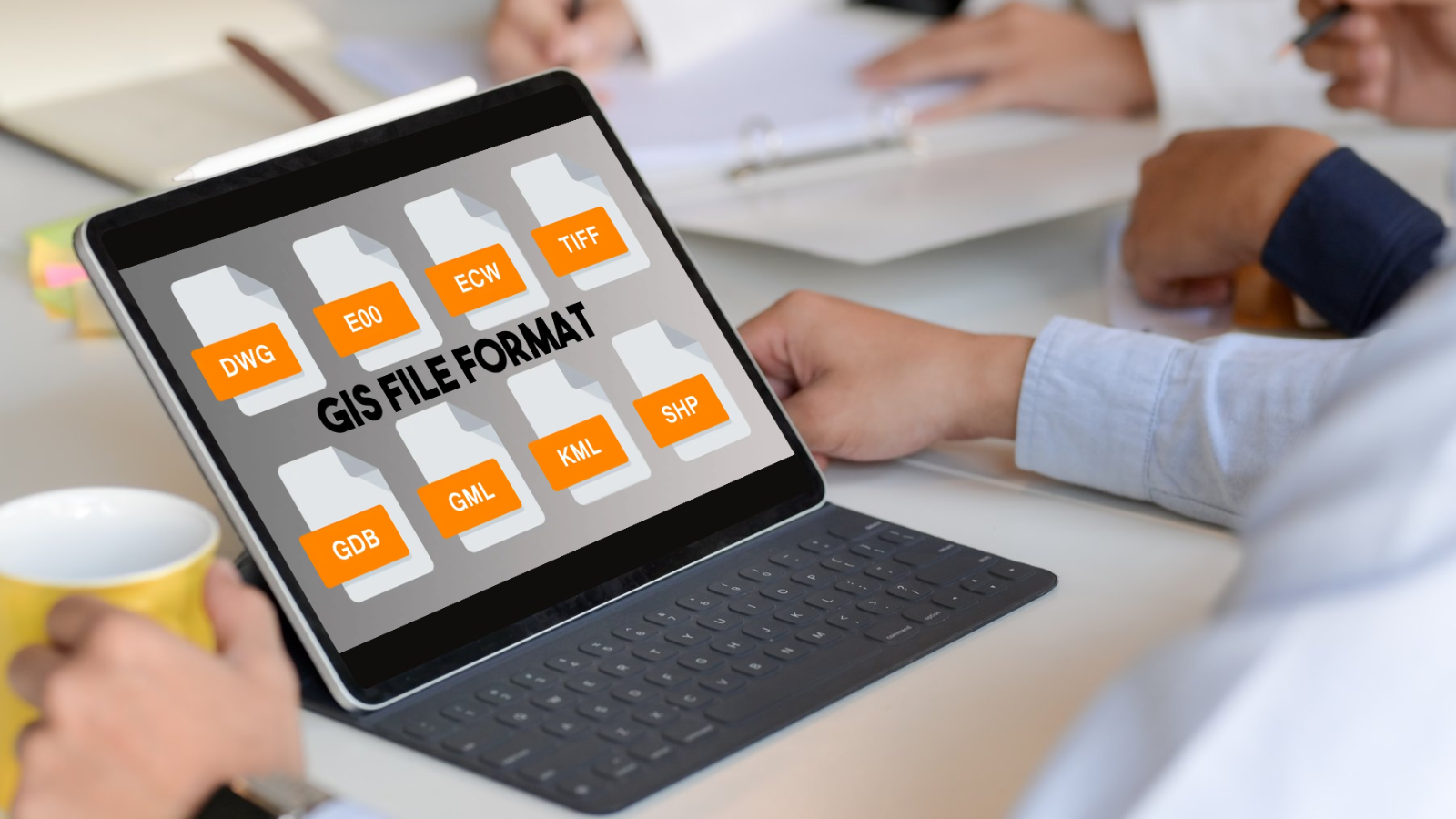
GIS Formats: Don’t Get Confused! Dealing with unknown GIS file formats can be frustrating for GIS analysts. But don’t worry, we’ve got you covered! We’ve …