
Land Terminologies – پٹوار
In Pakistan, land ownership and management are crucial aspects of rural life, overseen by local officials known as Patwaris. These village accountants play a vital …
In Pakistan, land ownership and management are crucial aspects of rural life, overseen by local officials known as Patwaris. These village accountants play a vital …
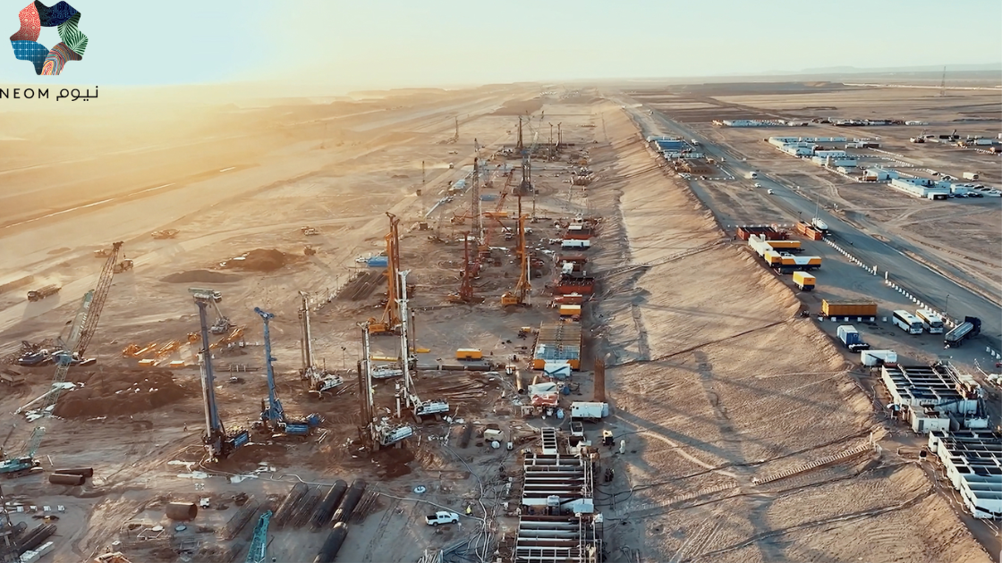
NEOM, Saudi Arabia Job Description Sector NEOM Authority OVERVIEW Position Senior Manager Data Visualization and GIS Job Code Reports to Senior Manager Data …

Python Libraries for GIS and Mapping Python libraries are great tools for GIS because they help you do a lot more with it. Using Python …

About the job Job Purpose Candidate will be responsible of developing geospatial technologies and producing databases, interpret geospatial and geographic data. Will be performing the …

About the job About the Role: Are you a GIS Developer looking to make your next career move? Trouve Labs is on the hunt for …
About the job About the Role: We are seeking a highly motivated and experienced GIS Technical Manager to lead the GIS team and play a …

I will do accurate map digitizing and georeferencing HQ precision , arcgis , qgis
I will write custom google earth engine scripts for satellite image processing
About the job We are a digitally native company where innovation, design and engineering meet scale. We use the latest technologies in the digital and …

Exploring the World with SAS Planet Nowadays, exploring the world is easier than ever because of digital technology. With advanced maps and satellite imagery, we …