Download High Resolution Satellite Images Free
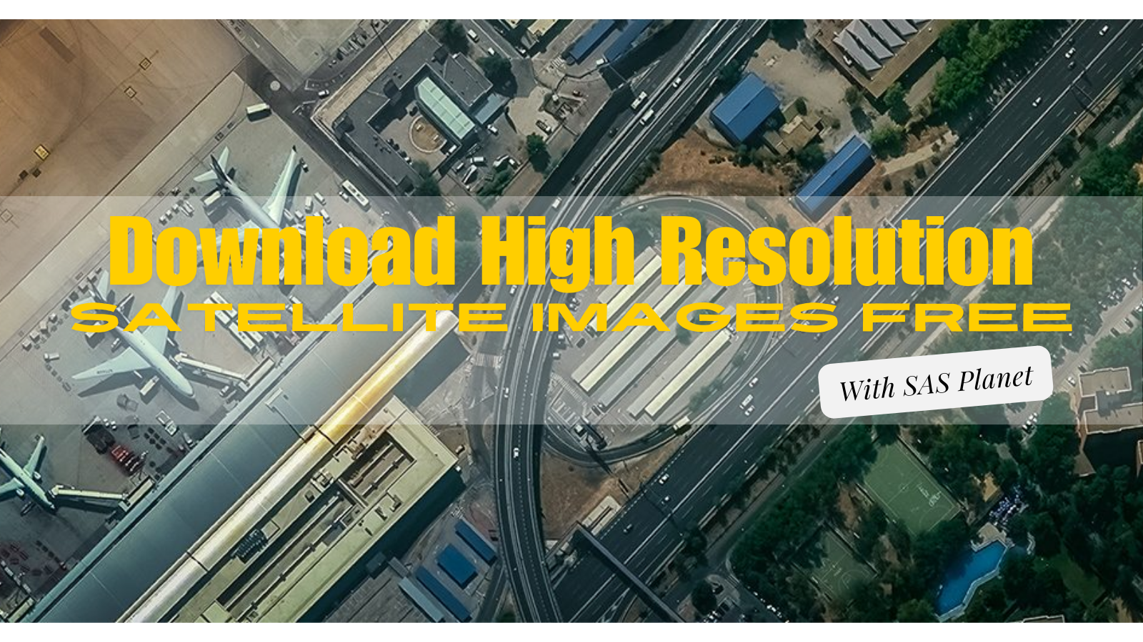
Exploring the World with SAS Planet Nowadays, exploring the world is easier than ever because of digital technology. With advanced maps and satellite imagery, we …
Exploring the World with SAS Planet Nowadays, exploring the world is easier than ever because of digital technology. With advanced maps and satellite imagery, we …
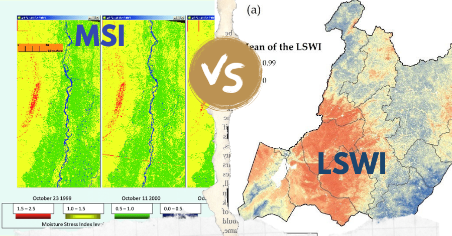
In the realm of remote sensing, the Leaf-Water Stress Index (LSWI) and the Moisture Stress Index (MSI) stand out as key tools for assessing vegetation …
Are you new to GIS and eager to step into the exciting world of Geographic Information Systems? Numerous GIS professionals have already paved the way …
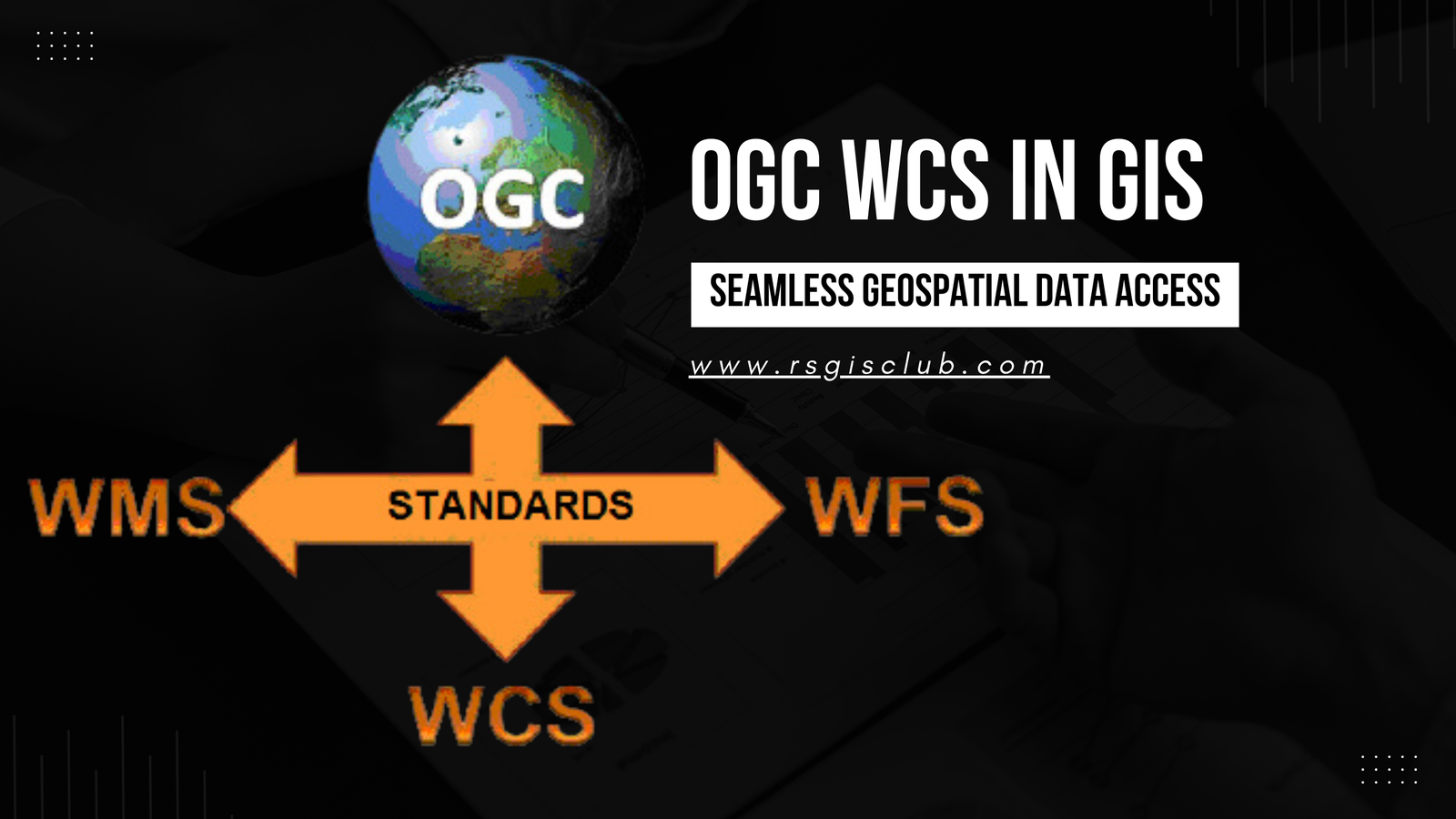
In the realm of Geographic Information Systems (GIS), the efficient management and dissemination of geospatial data are of paramount importance. The Open Geospatial Consortium (OGC) …
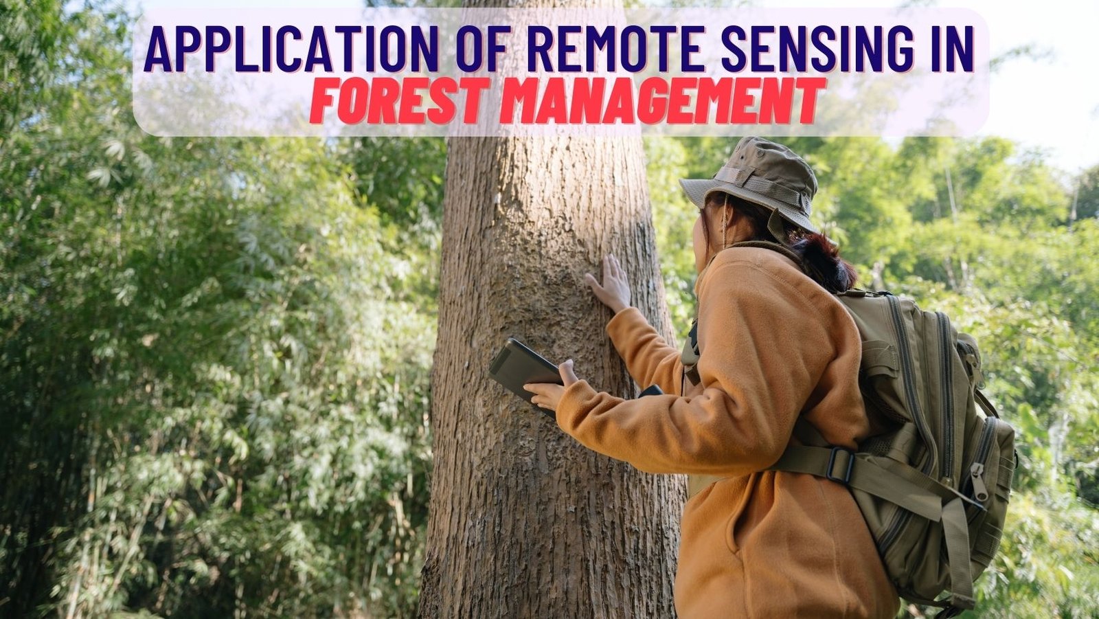
Forests are an essential part of our planet’s ecosystem. They provide us with a variety of benefits, including clean air, water, and timber. However, forests …