ArcGIS Drone2Map
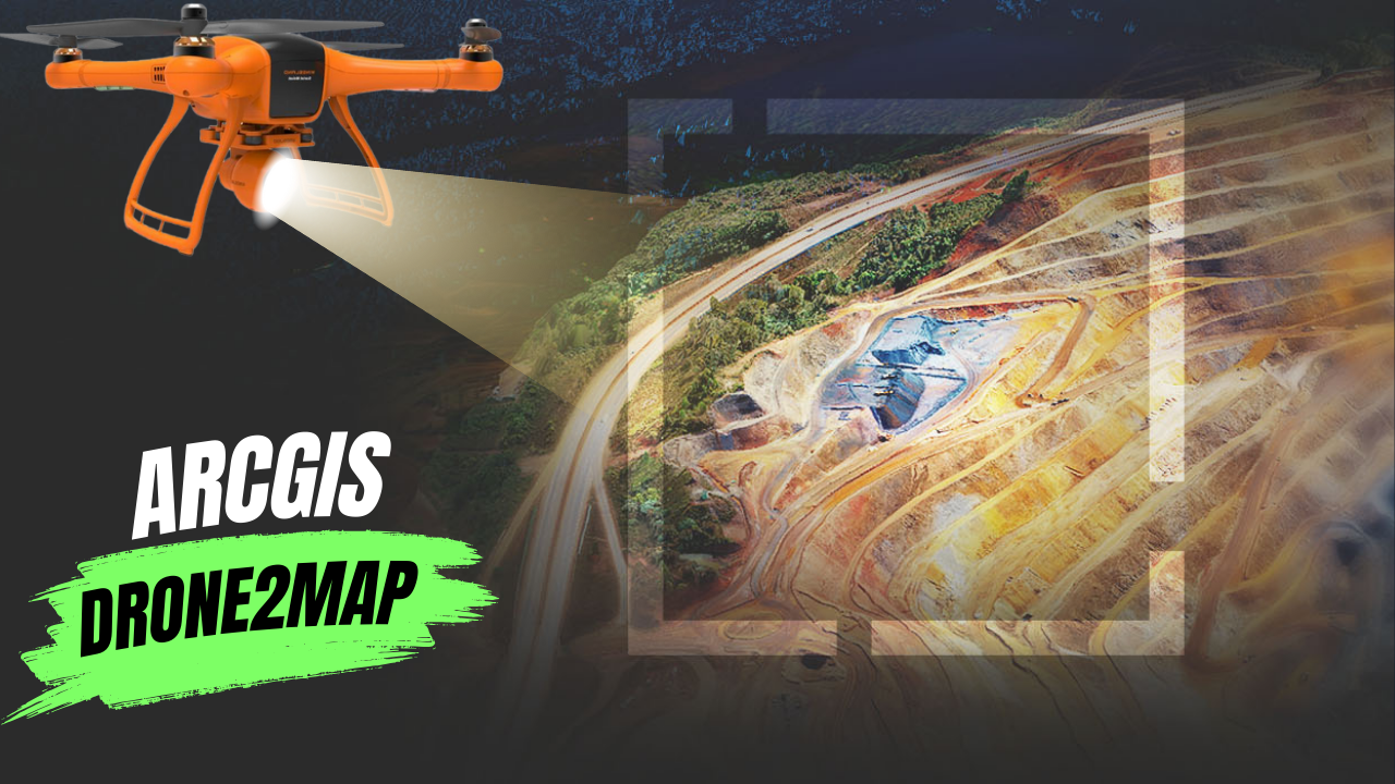
What Is ArcGIS Drone2Map? ArcGIS Drone2Map is an app for your computer that helps you create maps with drone images. You can use any modern …
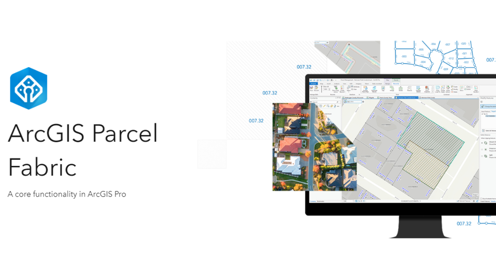
When different teams work on the same project, they can use their favorite tools together. ArcGIS helps GIS and CAD teams work together on parcel …
In Pakistan, land ownership and management are crucial aspects of rural life, overseen by local officials known as Patwaris. These village accountants play a vital …
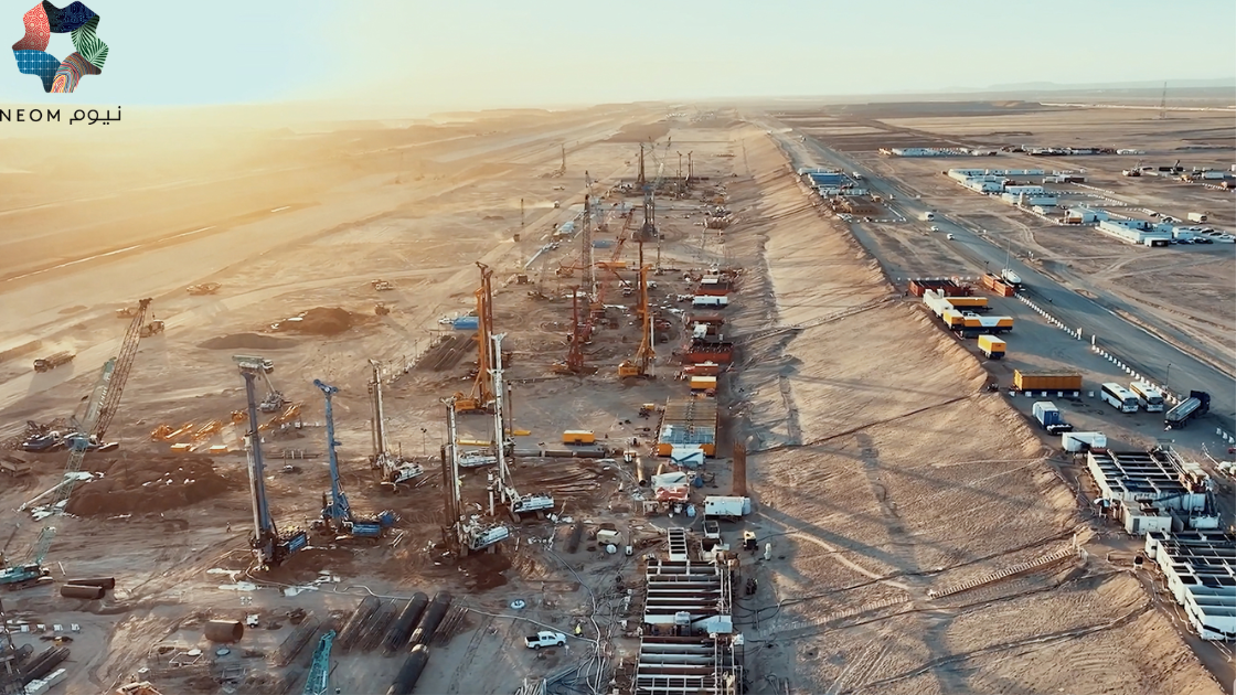
NEOM, Saudi Arabia Job Description Sector NEOM Authority OVERVIEW Position Senior Manager Data Visualization and GIS Job Code Reports to Senior Manager Data …
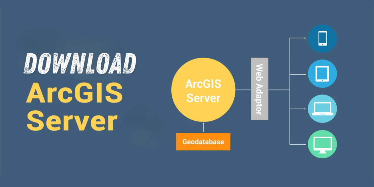
Download Are you looking for a way to share geographic information with others in your organization and beyond? Look no further than ESRI ArcGIS Server …
Level: Beginner What you’ll need: No extra files needed, it’s already on your computer! Where to find it: Look in your ArcGIS folder under “ArcGIS\ArcTutor\Parcel …
ArcGIS Desktop is getting old and won’t be supported after March 1, 2026. That means there won’t be any more updates or new versions for …
If you’re unsure about trying out the open source GIS platform called QGIS, here are five really good reasons why you should give it a …
What Are As-Built Drawings? Imagine as-built drawings as a diary for a building. They capture every little detail from the very beginning of construction all …
Introduction 3D mapping, an innovative technology making waves in the geospatial industry, involves capturing elevated locations in a digital format. In simpler terms, it creates …