
Download CityEngine 2024.1 and Get a Full Overview of Its Capabilities
Learn how to download and work with CityEngine 2024.1. Discover system requirements, new features, and get detailed guidance to transform your urban design projects.
Learn how to download and work with CityEngine 2024.1. Discover system requirements, new features, and get detailed guidance to transform your urban design projects.
Complexity: Beginner Data Requirement: ArcGIS Tutorial Data for Desktop Data Path: c:\ArcGIS\ArcTutor\Geocoding Goal: Create an address locator using alternate name and place-name aliases and find …
Complexity: Beginner Data Requirement: ArcGIS Tutorial Data for Desktop Data Path: c:\ArcGIS\ArcTutor\Geocoding Goal: To geocode a table of addresses and rematch the geocoded feature class …
Complexity: Beginner Data Requirement: ArcGIS Tutorial Data for Desktop Data Path: C:\ArcGIS\ArcTutor\Geocoding Goal: To find addresses using the Geocoding toolbar and Find tool In this …
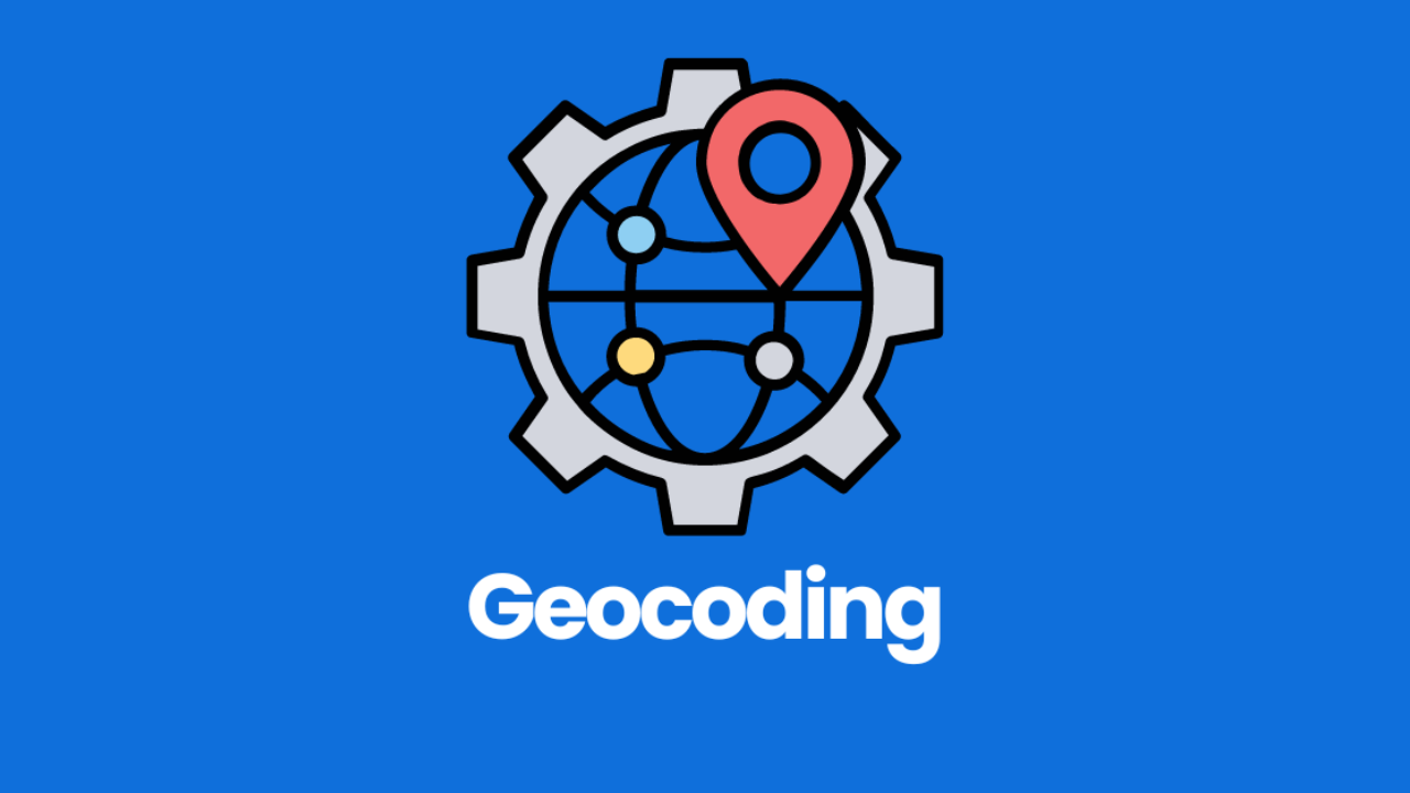
Learn how to create and use address locators in ArcGIS with our step-by-step geocoding tutorial. Perfect for beginners looking to convert textual locations into geographic features efficiently.
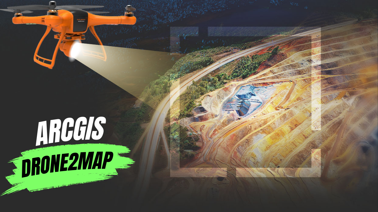
What Is ArcGIS Drone2Map? ArcGIS Drone2Map is an app for your computer that helps you create maps with drone images. You can use any modern …
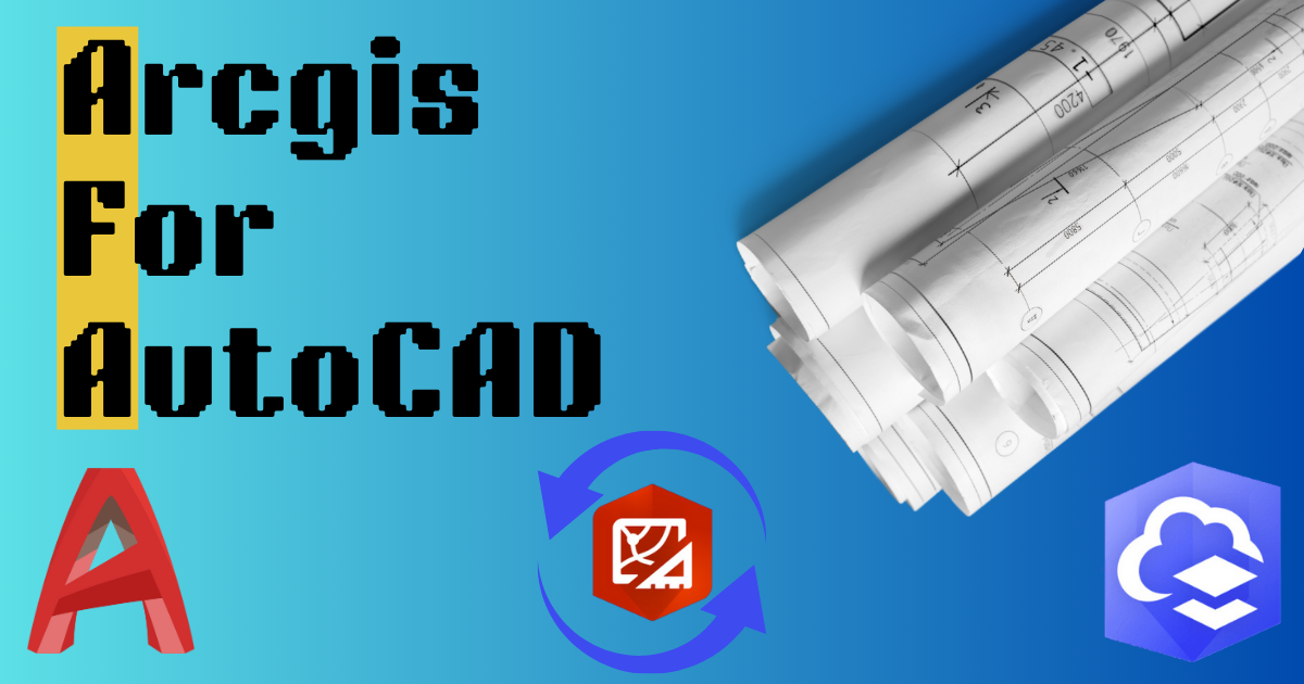
When different teams work on the same project, they can use their favorite tools together. ArcGIS helps GIS and CAD teams work together on parcel …
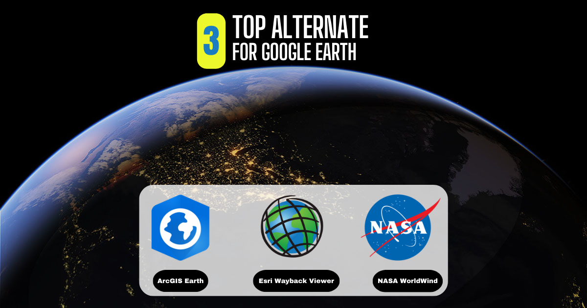
What Is Google Earth? Google Earth has always been a favorite for virtual explorers. Its historical images, 3D features, and ability to explore different places …
Is ArcGIS Free? ArcGIS, made by Esri, is a well-known GIS platform. But it doesn’t have any free plans. You need to pay for all …

In Pakistan, land ownership and management are crucial aspects of rural life, overseen by local officials known as Patwaris. These village accountants play a vital …