
I will write custom google earth engine scripts for satellite image processing
I will do accurate map digitizing and georeferencing HQ precision , arcgis , qgis
I will do accurate map digitizing and georeferencing HQ precision , arcgis , qgis
I will write custom google earth engine scripts for satellite image processing
About the job We are a digitally native company where innovation, design and engineering meet scale. We use the latest technologies in the digital and …

Exploring the World with SAS Planet Nowadays, exploring the world is easier than ever because of digital technology. With advanced maps and satellite imagery, we …
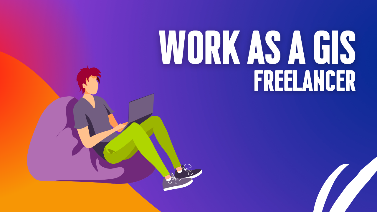
Thinking about making extra money with GIS? I’m not super excited about freelance GIS work. There are some downsides, like no steady paycheck, no benefits, …

One of the most basic questions asked of a GIS (Geographic Information System) is “What’s on top of what?” For example: Before GIS, cartographers would …
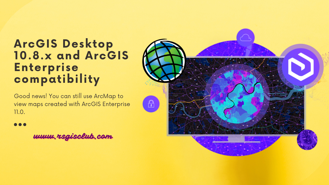
ArcGIS Desktop is getting old and won’t be supported after March 1, 2026. That means there won’t be any more updates or new versions for …
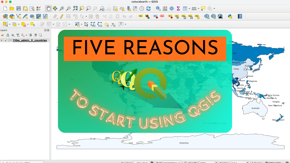
If you’re unsure about trying out the open source GIS platform called QGIS, here are five really good reasons why you should give it a …
Map symbols include icons, colors, lines, and visual elements that convey information about the physical world. These symbols help communicate details such as roads, rivers, …

Picture your GIS software not only being knowledgeable but also continually learning, becoming more intelligent and adept at understanding the world around us. Welcome to …