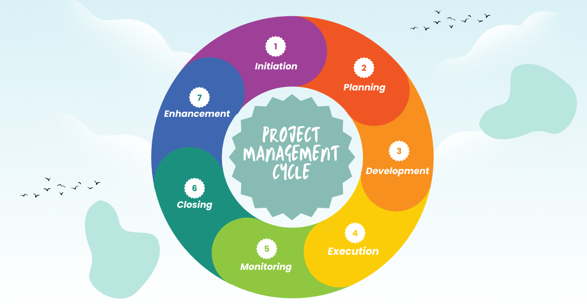
GIS (Geographic Information System) Project Lifecycle Overview
A typical project goes through these main steps: Planning → Development → Execution → Monitoring → Closing → Enhancement Each step needs special skills and …
A typical project goes through these main steps: Planning → Development → Execution → Monitoring → Closing → Enhancement Each step needs special skills and …
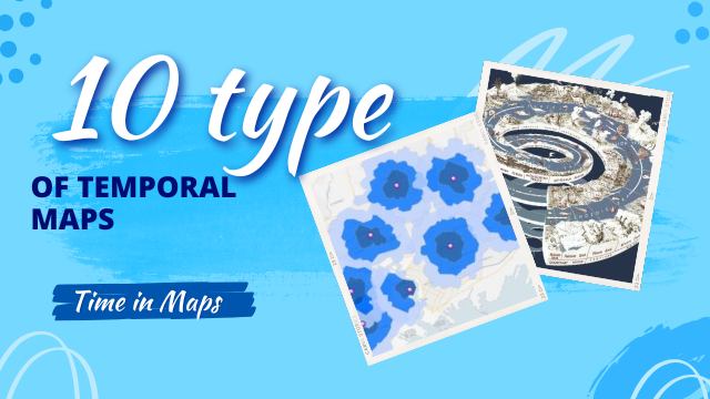
Some maps are timeless, capturing a moment in history that remains unchanged. Others, however, are dynamic, reflecting the passage of time. These temporal maps can …
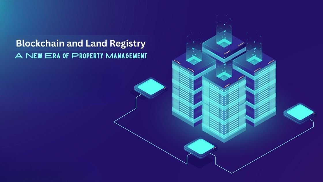
Combining GIS (Geographic Information Systems) with blockchain technology can create powerful solutions for managing and sharing spatial data. Here are some key points about this …

Every year, people worldwide celebrate GIS Day. This year, it’s happening on Wednesday, November 20, 2024. But what’s GIS Day all about? Let’s explore this …

In Pakistan, land ownership and management are crucial aspects of rural life, overseen by local officials known as Patwaris. These village accountants play a vital …

Python Libraries for GIS and Mapping Python libraries are great tools for GIS because they help you do a lot more with it. Using Python …

GIS Formats: Don’t Get Confused! Dealing with unknown GIS file formats can be frustrating for GIS analysts. But don’t worry, we’ve got you covered! We’ve …

Exploring the World with SAS Planet Nowadays, exploring the world is easier than ever because of digital technology. With advanced maps and satellite imagery, we …
Thinking about making extra money with GIS? I’m not super excited about freelance GIS work. There are some downsides, like no steady paycheck, no benefits, …