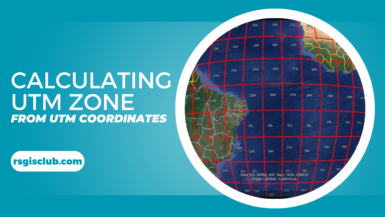
Calculating UTM Zone and SRID from UTM coordinates
Introduction In 2021, a construction crew in Colorado accidentally bulldozed the wrong plot of land—a $200,000 mistake traced to a decimal place error in geographic …
Introduction In 2021, a construction crew in Colorado accidentally bulldozed the wrong plot of land—a $200,000 mistake traced to a decimal place error in geographic …
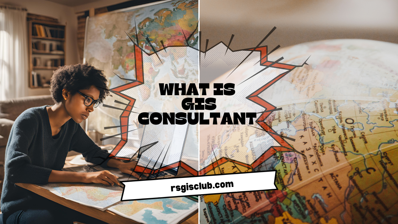
Geographic Information Systems (GIS) have become an essential tool for solving complex spatial problems across industries. At the heart of this technology is the GIS consultant, …

Learn how to download and work with CityEngine 2024.1. Discover system requirements, new features, and get detailed guidance to transform your urban design projects.
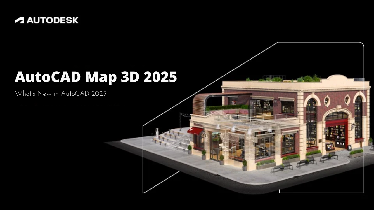
AutoCAD Map 3D 2025 offers powerful new features for CAD and GIS integration, improved workflows, and enhanced performance. Access and edit spatial data with ease, manage infrastructure models, and connect seamlessly to ArcGIS. With updated coordinate systems and advanced map creation tools, it’s the ultimate solution for your design projects. Download it now for free and elevate your work!
Complexity: Beginner Data Requirement: ArcGIS Tutorial Data for Desktop Data Path: c:\ArcGIS\ArcTutor\Geocoding Goal: Create an address locator using alternate name and place-name aliases and find …
Complexity: Beginner Data Requirement: ArcGIS Tutorial Data for Desktop Data Path: c:\ArcGIS\ArcTutor\Geocoding Goal: To geocode a table of addresses and rematch the geocoded feature class …
Complexity: Beginner Data Requirement: ArcGIS Tutorial Data for Desktop Data Path: C:\ArcGIS\ArcTutor\Geocoding Goal: To find addresses using the Geocoding toolbar and Find tool In this …
Complexity: Beginner Data Requirement: ArcGIS Tutorial Data for Desktop Data Path: C:\ArcGIS\ArcTutor\Geocoding Goal: To create a composite address locator In this tutorial, you’ll learn how …
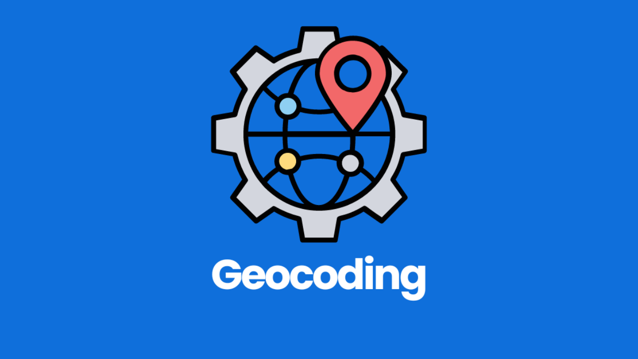
Learn how to create and use address locators in ArcGIS with our step-by-step geocoding tutorial. Perfect for beginners looking to convert textual locations into geographic features efficiently.
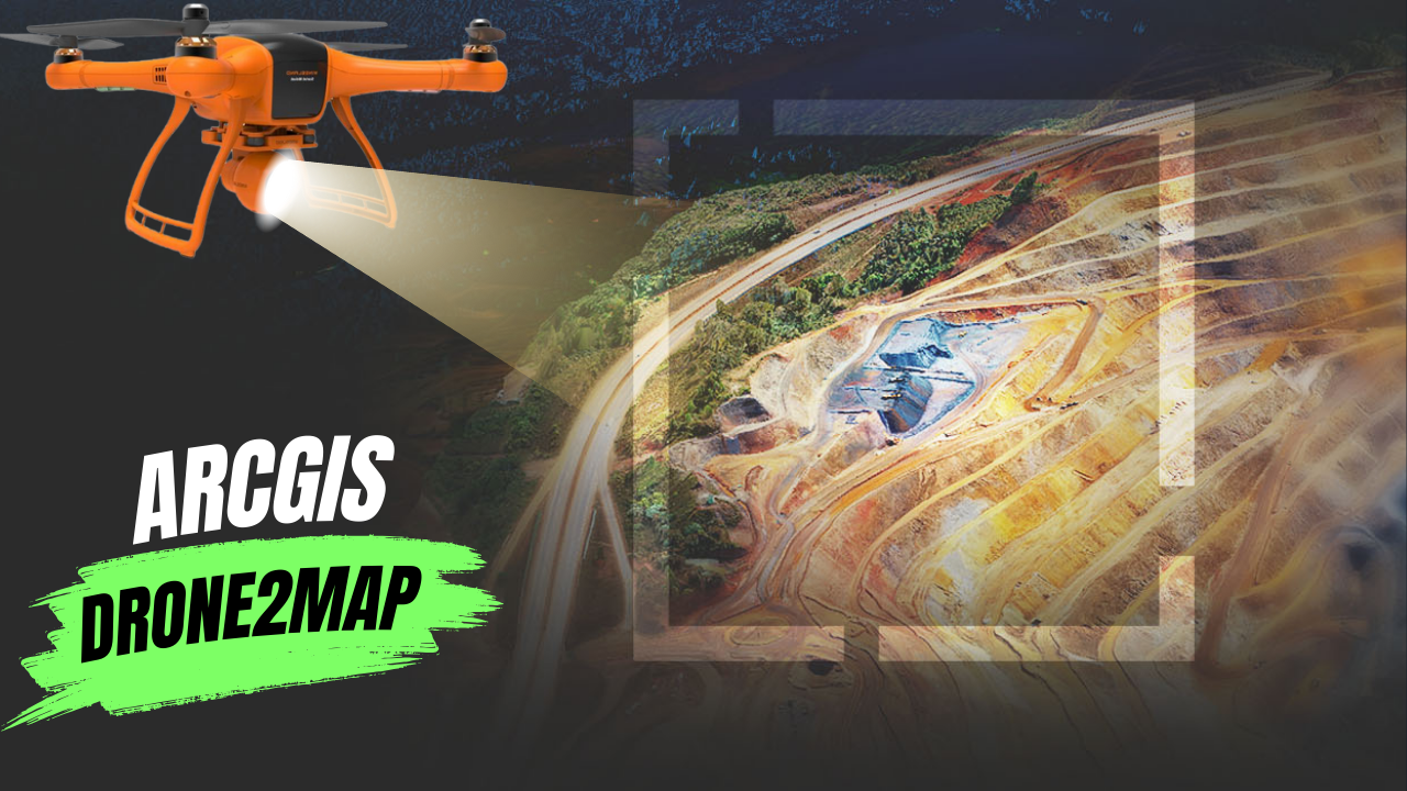
What Is ArcGIS Drone2Map? ArcGIS Drone2Map is an app for your computer that helps you create maps with drone images. You can use any modern …