Exercise 3: Finding addresses
Complexity: Beginner Data Requirement: ArcGIS Tutorial Data for Desktop Data Path: C:\ArcGIS\ArcTutor\Geocoding Goal: To find addresses using the Geocoding toolbar and Find tool In this …
Complexity: Beginner Data Requirement: ArcGIS Tutorial Data for Desktop Data Path: C:\ArcGIS\ArcTutor\Geocoding Goal: To find addresses using the Geocoding toolbar and Find tool In this …
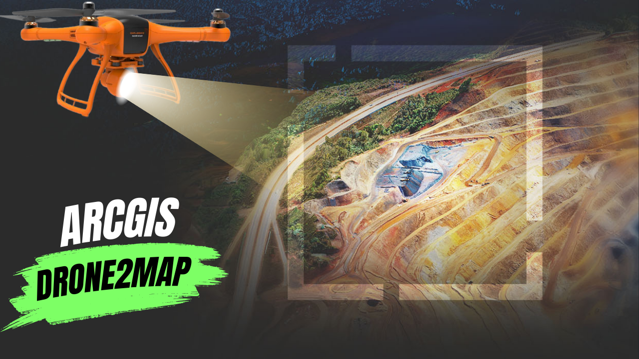
What Is ArcGIS Drone2Map? ArcGIS Drone2Map is an app for your computer that helps you create maps with drone images. You can use any modern …
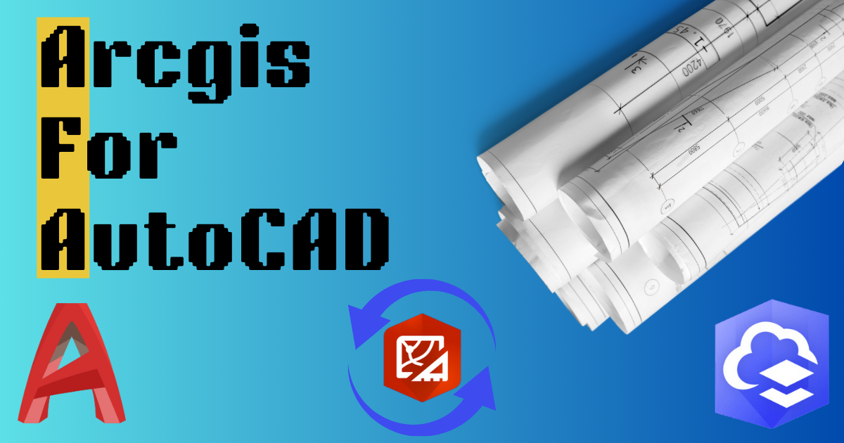
When different teams work on the same project, they can use their favorite tools together. ArcGIS helps GIS and CAD teams work together on parcel …
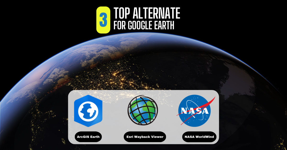
What Is Google Earth? Google Earth has always been a favorite for virtual explorers. Its historical images, 3D features, and ability to explore different places …
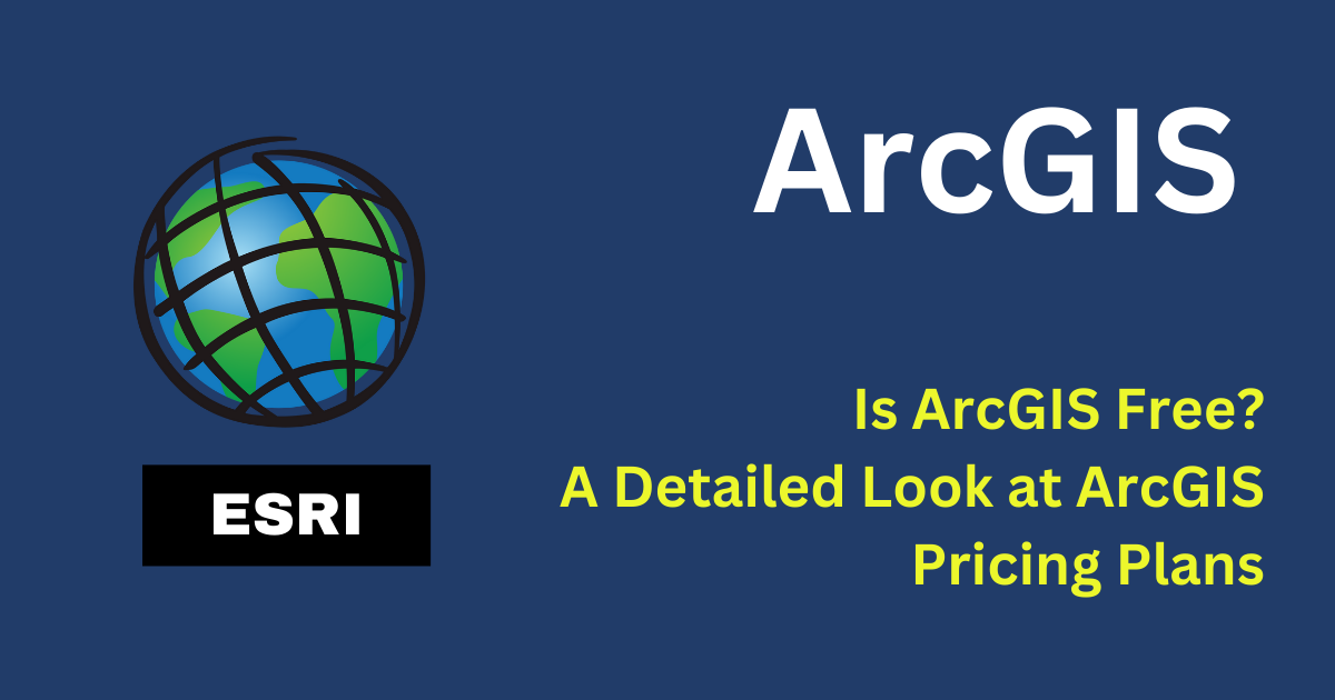
Is ArcGIS Free? ArcGIS, made by Esri, is a well-known GIS platform. But it doesn’t have any free plans. You need to pay for all …

In Pakistan, land ownership and management are crucial aspects of rural life, overseen by local officials known as Patwaris. These village accountants play a vital …
About the job About the Role: We are seeking a highly motivated and experienced GIS Technical Manager to lead the GIS team and play a …

Exploring the World with SAS Planet Nowadays, exploring the world is easier than ever because of digital technology. With advanced maps and satellite imagery, we …
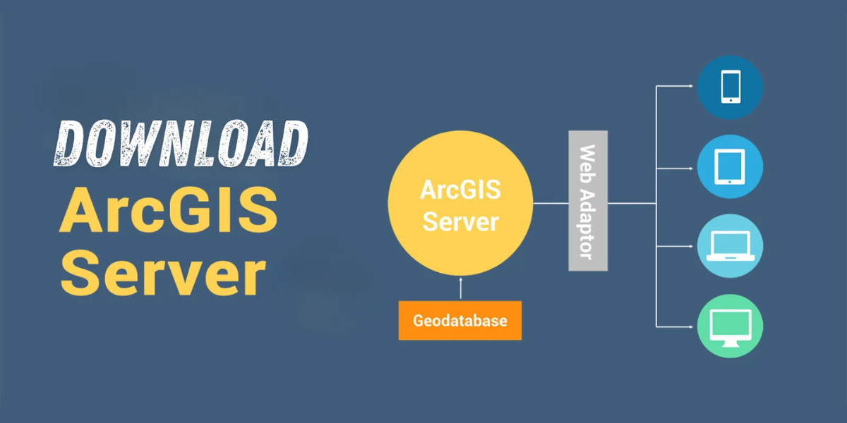
Download Are you looking for a way to share geographic information with others in your organization and beyond? Look no further than ESRI ArcGIS Server …
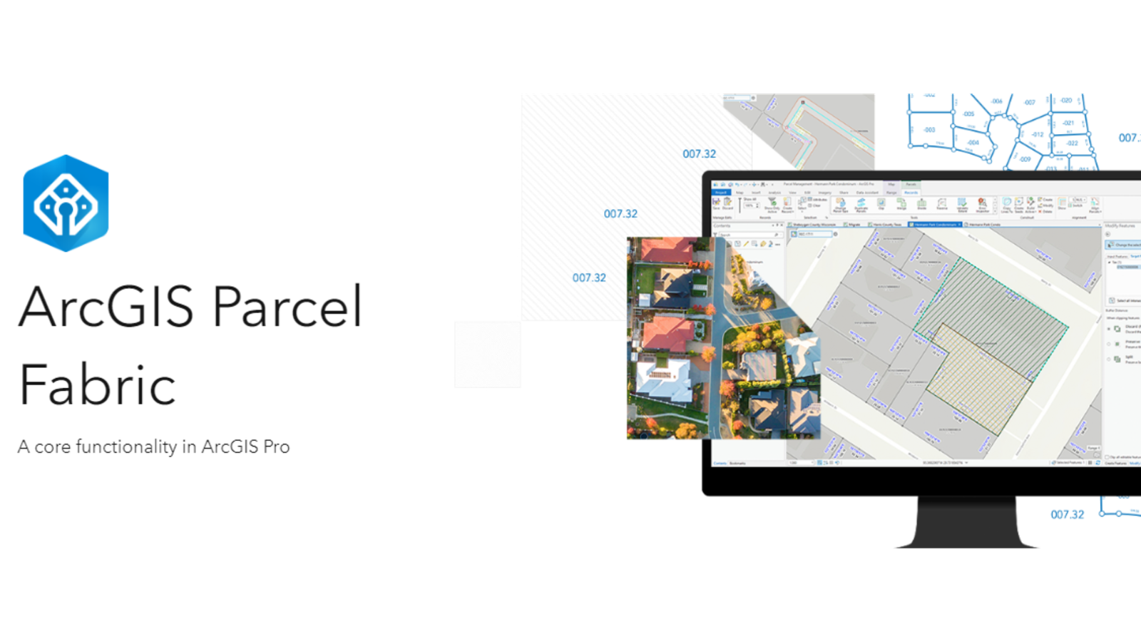
Level: Beginner What you’ll need: No extra files needed, it’s already on your computer! Where to find it: Look in your ArcGIS folder under “ArcGIS\ArcTutor\Parcel …